 Mon GéoSource
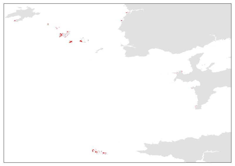
Mapping of boulder fields in the Iroise marine natural park (2010)
The term "boulder fields" covers areas of boulders of the lowest levels of the foreshore which are uncovered during low tides. They are not really part of the mediolittoral (intertidal zone) but what is now defined as the fringe tip (or emerging or upper part) of the infralittoral. More generally, boulder fields, formed by the fragmentation of the rocks in place, are located at the foot of rocky cliffs or between rocky headlands and flats. They are only accessible on foot during tidal coefficients greater than or equal to 95.
Boulder fields naturally harbor a high biodiversity due to their position at the bottom of the foreshore, but the wealth of fauna and flora also depends greatly on the type of architectural habitat. Three broad categories of boulder fields are distinguished: Sediment blocks, blocks of bedrock and blocks on blocks.
Simple
- Date ( Creation )
- 2010-01-01
- Date ( Publication )
- 2010-01-01
- Identifier
- PN_ATL_LEMAR_Carte_blocs_PNMI_pol_wgs84.shp
- Credit
- LEMAR – IUEM (UBO)
- Thèmes Sextant Thèmes Sextant ( Theme )
-
- /Biological Environment/Habitats
- Keywords ( Theme )
-
- Boulder field, biocenosis, hard bottom mediolittoral
- Keywords ( Place )
-
- marine natural park
- Iroise Sea
- GEMET - INSPIRE themes, version 1.0 GEMET - INSPIRE themes, version 1.0 ( Theme )
-
- Habitats and biotopes
- Sous-regions marines Sous-regions marines ( Place )
-
- Celtic Seas
- Access constraints
- Other restrictions
- Use constraints
- Copyright
- Other constraints
- Obligation de Citation : Lejart M., Larzillière A., Hily C. (2010). Etude des herbiers et des champs de blocs du Parc naturel marin d’Iroise: cartographie et caractérisation de l’état de conservation. 184pp.
- Classification
- Unclassified
- Spatial representation type
- Vector
- Metadata language
- fr
- Character set
- UTF8
- Topic category
-
- Biota
))
- Supplemental Information
-
Type of habitat:
Natura 2000 : 1170 (1170_9).
EUNIS (2004) : A1.2142
REBENT (2008): P14
- Reference system identifier
- EPSG / WGS84 géographiques / 7.4
- Distribution format
-
-
Shape ESRI
(
ArcGIS 9.3.1
)
-
Shape ESRI
(
ArcGIS 9.3.1
)
- OnLine resource
- site internet Ifremer dédié à la Directive Cadre Stratégie pour le Milieu Marin ( WWW:LINK )
- OnLine resource
-
carthothèque DCSMM
(
WWW:LINK
)
Hard bottom biocenosis of mediolittoral
- OnLine resource
-
PN_ATL_LEMAR_Carte_blocs_PNMI_pol_wgs84
(
OGC:WMS
)
boulder fields
- Hierarchy level
- Dataset
- Statement
- Lejart M., Larzillière A., Hily C. (2010). Etude des herbiers et des champs de blocs du Parc naturel marin d’Iroise: cartographie et caractérisation de l’état de conservation. 184pp.
- File identifier
- cdfeeebc-c108-4615-81dd-52c484148f82 XML
- Metadata language
- fr
- Character set
- UTF8
- Hierarchy level
- Dataset
- Hierarchy level name
- Jeu de données
- Date stamp
- 2020-06-04T01:07:37
- Metadata standard name
- ISO 19115:2003/19139 - SEXTANT
- Metadata standard version
- 1.0
Overviews
Spatial extent
Provided by
