 Mon GéoSource
/Physical Environment/Sedimentology Geology/Geomorphology
Type of resources
Available actions
Topics
INSPIRE themes
Keywords
Contact for the resource
Provided by
Representation types
Update frequencies
status
Scale
Resolution
-
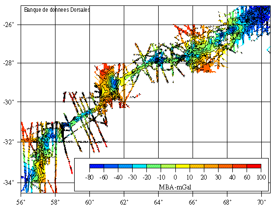
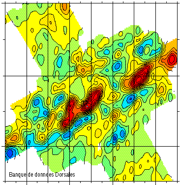
Gravimetry data of the ridge axis of Mohn's ridge (NE Atlantic) in order to study the mecanisms of the oceanic accretion.
-
Magnetic data of the ridge axis of Mohn's ridge (NE Atlantic) in order to study the mecanisms of the oceanic accretion.
-
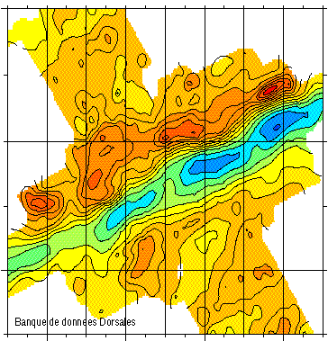
Compilation of gravimetric data between 1973 and 1994
-
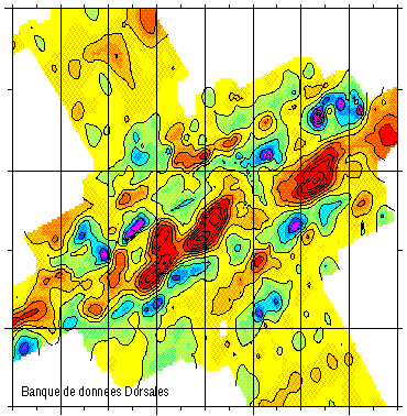
Compilation of gravimetric data between 1973 and 1994
-

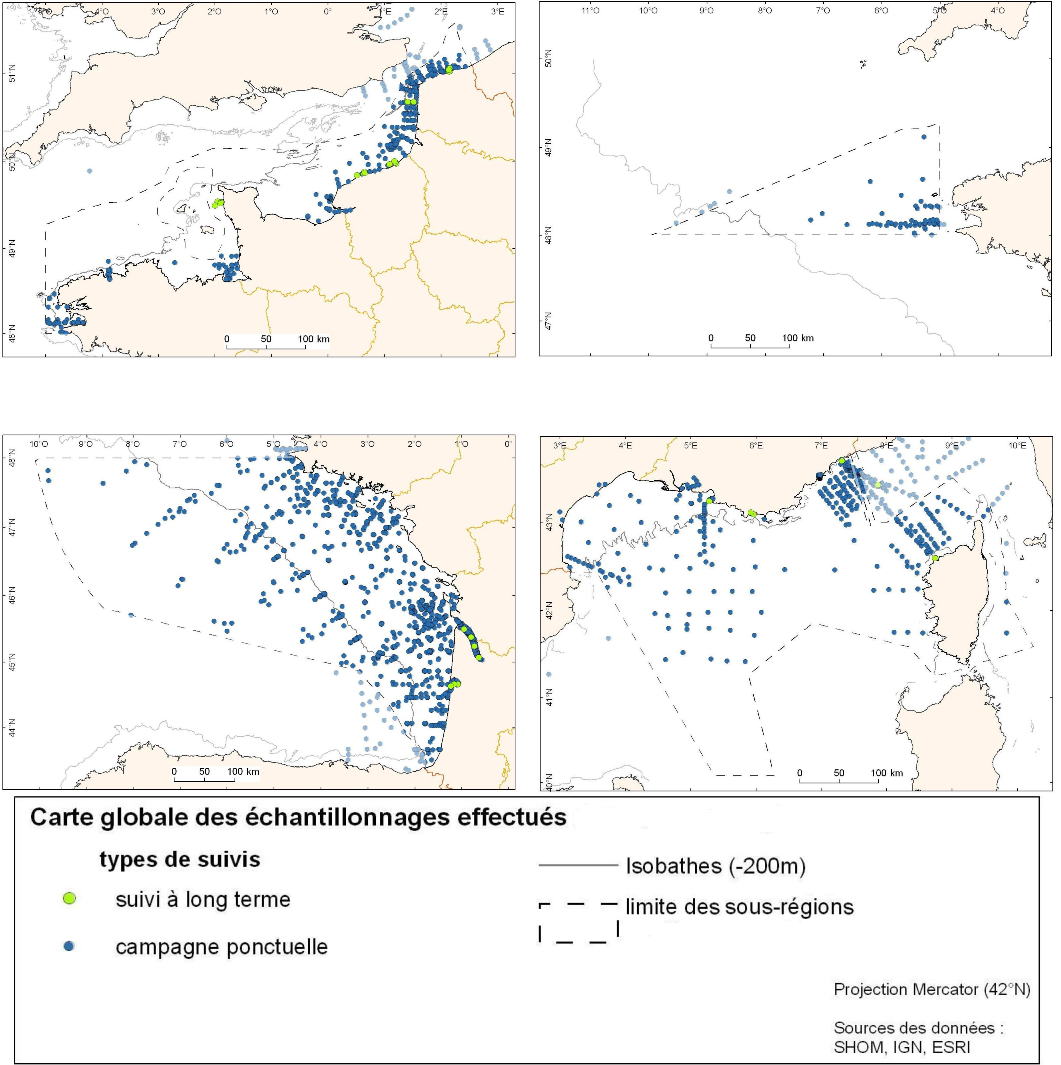
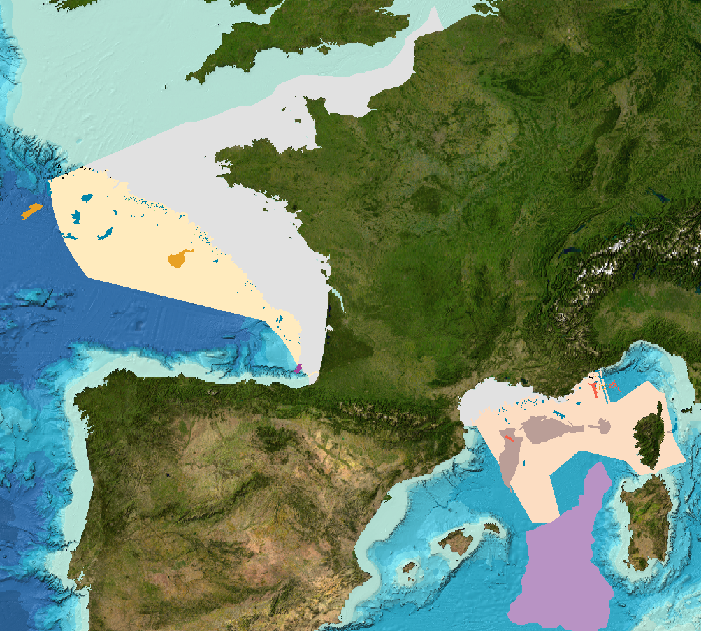
Distribution of three geomorphologic features (fracture zones, canyons, and seamounts) on the North Atlantic (18°N to 76°N and 36°E to 98°W). Source vector data originated from the GEBCO Gazetteer of Undersea Features Names for fractures, Harris & Whiteway (2011) for canyons, and Yesson et al. (2011) for seamounts. The presence (value=1) of fracture zones or seamounts and the total length of canyons (in km, independently for shelf-incising or blind canyons) was extracted in 25km * 25km gridsquares. This dataset was built to feed a basin-wide spatial conservation planning exercise, targeting the deep sea of the North Atlantic. The goal of this approach was to identify conservation priority areas for Vulnerable Marine Ecosystems (VMEs) and deep fish species, based on the distribution of species and habitats, human activities and current spatial management.
-
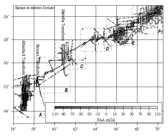
Magnetic data of the ridge axis of Mohn's ridge (NE Atlantic) in order to study the mecanisms of the oceanic accretion.
-
-
-
-
Landslides and gravitational features mapped within French metropolitan EEZ at 1 : 250 000 in the framework of work-package 6 of the european project EMODNet Geology phase 2.