 Mon GéoSource
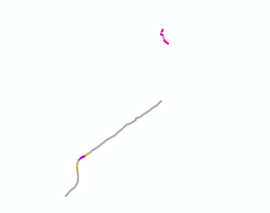
Cold-water coral habitats mapping in submarine canyons of the Bay of Biscay. BOBGEO2 cruise.
Cold-water coral habitat mapping in submarine canyons of the bay of Biscay was realized by the deep sea laboratory of Ifremer. Data came from the BOBGEO2 cruise in the framework of the CoralFish project and as part of an agreement between Ifremer and the Agence des Aires Marines Protégées.
The method was based on image analyses. Images were acquired using the towed camera « SCAMPI » during the BOBGEO2 cruise (from 18/07/2010 to 25/07/2010, chief scientist: Jean-François BOURILLET, Ifremer Brest). Observed habitats were defined according to the CoralFish typology (J.S. Davies, B. Guillaumont, F. Tempera, A. Vertino, L. Beuck, S.H. Ólafsdóttir, C.J. Smith, J.H. Fosså, I.M.J. van den Beld, A. Savini, A. Rengstorf, C. Bayle, J.-F. Bourillet, S. Arnaud-Haond, A. Grehan, 2017. A new classification scheme of European cold-water coral habitats: Implications for ecosystem-based management of the deep sea, In Deep Sea Research Part II: Topical Studies in Oceanography, Volume 145, 2017, Pages 102-109, ISSN 0967-0645, https://doi.org/10.1016/j.dsr2.2017.04.014 ).
Simple
- Date ( Publication )
- 2013-05-15T09:30:00
- Identifier
- FR-330-715-368-00032-IFR_Compil_BOBGEO2_Habitats_Bathy
- Identifier
- DOI:10.12770/c3a60ad1-6ed3-4124-b43c-6facb82226d8
- Purpose
- The aim of this work is to map cold water coral habitats in submarine canyons of the bay of Biscay to gain better knowledge on deep-sea vulnerable marine habitats, follow their evolution, and propose management measures adapted to the preservation of their integrity.
- Credit
- IFREMER, BOBGEO2
- Credit
- Funding : This project was funded by the European Union’s 7th Framework Programme for research and innovation under grant agreement no.213144 (CoralFISH) as well as the European Union’s Horizon 2020 research and innovation programme under grant agreement No 678760 (ATLAS). The Agence des Aires Marines Protégées (now Agence Française pour la Biodiversité) provided financial support for image annotation. Inge van den Beld’s PhD Fellowship was co-funded by Region Bretagne and Ifremer.
- Status
- On going
- Maintenance and update frequency
- Not planned
- GEMET - INSPIRE themes, version 1.0 GEMET - INSPIRE themes, version 1.0 ( Theme )
-
- Habitats and biotopes
- Thèmes Sextant Thèmes Sextant ( Theme )
-
- /Biological Environment/Habitats
- DCSMM : Descripteurs DCSMM : Descripteurs ( Theme )
-
- D1: Coastal benthic habitats
- D6: Sea-floor Integrity
- Sous-regions marines Sous-regions marines ( Place )
-
- /Metropolitan France/Bay of Biscay
- Keywords ( Theme )
-
- Cold-water coral reefs
- Cadre Réglementaire - SIMM Cadre Réglementaire - SIMM ( Theme )
-
- Directive Cadre Stratégie pour le Milieu Marin (DCSMM)
- Directive Cadre pour la Planification de l'Espace Maritime (DCPEM)
- Type de jeux de donnée ODATIS Type de jeux de donnée ODATIS ( Theme )
-
- /Processed data/Composite products
- Thématiques - SIMM Thématiques - SIMM ( Theme )
-
- /Environmental Status/Habitats
- Research
- Use limitation
- Données sous Licence Creative Commons - Attribution + Pas d’Utilisation Commerciale + Partage dans les mêmes conditions (BY-NC-SA) : http://creativecommons.fr/licences/
- Access constraints
- Other restrictions
- Use constraints
- Copyright
- Other constraints
- The requirement to mention in bibliography: "VAN DEN BELD I., GUILLAUMONT B., DAVIES J., TOUROLLE J., MENOT L., 2013. Cold-water coral habitat mapping in submarine canyons of the Bay of Biscay. BOBGEO2 cruise. Agreement REF/IFREMER : 12/2 212 725".
- Use limitation
- Ces fichiers sont destinés à un usage personnel. Toute utilisation commerciale de ces données est strictement interdite. Pour tout usage autre que personnel, veuillez prendre contact avec l'administrateur du serveur Sextant (sextant@ifremer ).
- Spatial representation type
- Vector
- Distance
- 10 m
- Distance
- 10 m
- Metadata language
- fr
- Character set
- UTF8
- Topic category
-
- Biota
- Environment description
- ArcGis 10.0, Adelie 3.0
))
- Begin date
- 2010-07-18T06:00:00
- End date
- 2010-07-25T19:30:00
- Reference system identifier
- EPSG / WGS 84 (EPSG:4326) / 7.4
- Topology level
- Geometry only
- Geometric object type
- Complex
- Geometric object count
- 423
- Distribution format
-
-
ESRI Shapefile
(
ArcGis 10.0
)
-
ESRI Shapefile
(
ArcGis 10.0
)
- OnLine resource
- IFR_EEP_BOBGEO2_Habitats_Bathy_A ( OGC:WMS )
- Protocol
- FILE
- Name
- IFR_EEP_BOBGEO2_Habitats_Bathy_A
- OnLine resource
-
Oceanographic cruise : BOBGEO2
(
WWW:LINK
)
Oceanographic cruise : BOBGEO2
- OnLine resource
-
DOI of data
(
WWW:LINK-1.0-http--metadata-URL
)
DOI of data
- OnLine resource
-
SEANOE
(
WWW:LINK
)
Open access data
- Hierarchy level
- Dataset
Conformance result
- Date ( Creation )
- 2012-01-16
- Explanation
- Non évalué
- Pass
- No
- Statement
- The map was realized in 2013 within the framework of the CoralFish project and as part of an agreement between Ifremer and the Agence des Aires Marines Protégées. Mapping methodology is based on the processing and interpretation of images collected during the BOBGEO2 cruise using the towed camera « SCAMPI ».
- Description
- 1/ DATAS: images acquired with the towed camera SCAMPI during the BOBGEO2 cruise.
- Description
- 2/ OCEANOGRAPHIC CRUISE : the BOBGEO2 cruise was conducted from 18/07/2010 to 25/07/2010 onboard the Suroit research vessel, and led by the chief scientist Jean-François Bourillet (Ifremer Brest).
- Description
- 3/ IMAGES PROCESSING : images were annotated by Inge van den Beld, Jaime Davies and Brigitte Guillaumont using Adelie and Cover software. Cold-water coral habitats were described from images with the level 1 of CoralFish typology, published by Davies et al., 2017 (J.S. Davies, B. Guillaumont, F. Tempera, A. Vertino, L. Beuck, S.H. Ólafsdóttir, C.J. Smith, J.H. Fosså, I.M.J. van den Beld, A. Savini, A. Rengstorf, C. Bayle, J.-F. Bourillet, S. Arnaud-Haond, A. Grehan, A new classification scheme of European cold-water coral habitats: Implications for ecosystem-based management of the deep sea, In Deep Sea Research Part II: Topical Studies in Oceanography, Volume 145, 2017, Pages 102-109, ISSN 0967-0645, https://doi.org/10.1016/j.dsr2.2017.04.014 ).
- Description
- 4/ DATA PROCESSING : habitats observations were exported to ArcGis and associated with the dives navigation. The result provided a habitat mapping (polylines) along the dive navigation, segmented by observations.
- Description
- 5/ VALORISATION : this work was developed within the framework of Inge van den Beld’s PhD (Van Den Beld Inge, 2017. Habitats coralliens dans les canyons sous-marins du Golfe de Gascogne : distribution, écologie et vulnérabilité / Coral habitats in submarine canyons of the Bay of Biscay : distribution, ecology and vulnerability . PhD Thesis , Université de Bretagne occidentale). Another article was published: Van Den Beld Inge, Bourillet Jean-Francois, Arnaud-Haond Sophie, De Chambure Laurent, Davies Jaime S, Guillaumont Brigitte, Olu Karine, Menot Lenaick (2017). Cold-water coral habitats in submarine canyons of the Bay of Biscay . Frontiers in Marine Science , 4(118), 1-30 . Publisher's official version : http://doi.org/10.3389/fmars.2017.00118 , Open Access version : http://archimer.ifremer.fr/doc/00382/49343/.
- File identifier
- c3a60ad1-6ed3-4124-b43c-6facb82226d8 XML
- Metadata language
- fr
- Character set
- UTF8
- Hierarchy level
- Dataset
- Date stamp
- 2020-06-04T00:33:30
- Metadata standard name
- ISO 19115:2003/19139 - SEXTANT
- Metadata standard version
- 1.0
Overviews
Spatial extent
Provided by
