 Mon GéoSource
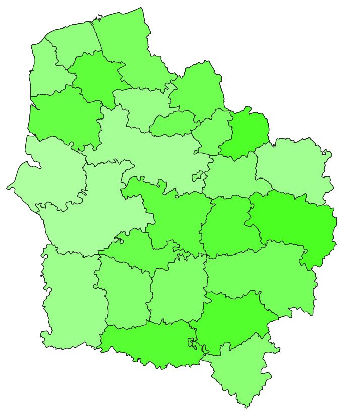
Arrondissements de la région Hauts-de-France
Simple
- Date ( Creation )
- 2021-01-01
- GEMET - INSPIRE themes, version 1.0 ( Theme )
-
- Unités administratives
- GEMET - Concepts, version 2.4 ( Theme )
-
- limite administrative
- Keywords
-
- ARRONDISSEMENT
- COMMUNE
- DONNEE OUVERTE
- Région ( Place )
-
- HAUTS-DE-FRANCE
- Distance
- 5 m
- Denominator
- 1000
- Metadata language
- fre
- Character set
- UTF8
- Topic category
-
- Boundaries
- Description
- HAUTS-DE-FRANCE
))
- OnLine resource
-
arrondissements
(
OGC:WMS
)
Arrondissements
- OnLine resource
-
spld:arrondissements
(
OGC:WFS
)
Arrondissements
- OnLine resource
-
shapefile des arrondissements
(
WWW:DOWNLOAD-1.0-http--download
)
shapefile des arrondissements
- OnLine resource
- fichier CSV ( WWW:DOWNLOAD-1.0-http--download )
- OnLine resource
-
FIchier geojson
(
WWW:DOWNLOAD-1.0-http--download
)
FIchier geojson
- Hierarchy level
- Dataset
Conformance result
- Date ( Publication )
- 2021-01-01
- Explanation
- -- Information sur l'évaluation de la conformité (non INSPIRE) --
- Pass
- Statement
- Limites issues de la BD Topo de l'IGN.
- File identifier
- d90835e0-2763-49f1-a251-cd64c8a4bbf4 XML
- Metadata language
- fr
- Character set
- UTF8
- Hierarchy level
- Dataset
- Hierarchy level name
- Précision sur le niveau de hiérarchie (non INSPIRE)
- Date stamp
- 2021-01-14T13:58:19
- Metadata standard name
- ISO 19115:2003/19139
- Metadata standard version
- 1.0
Overviews
Spatial extent
Provided by
