 Mon GéoSource
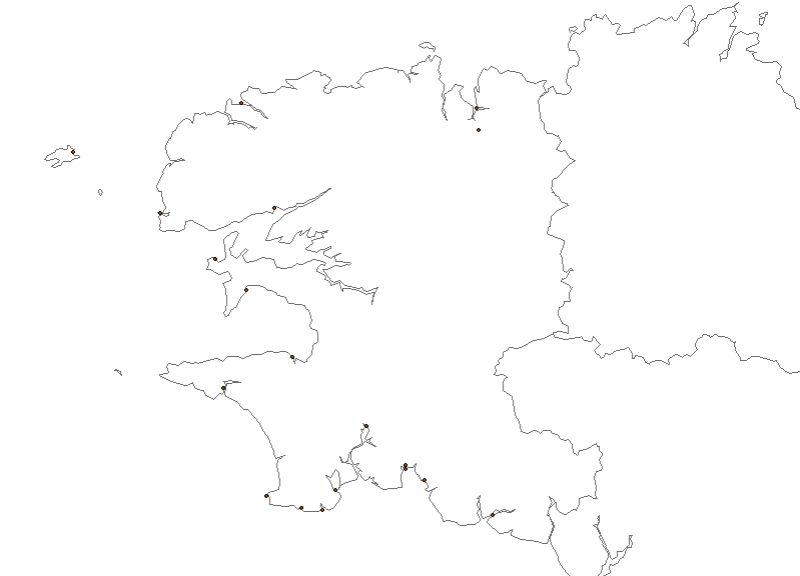
Dégâts côtiers sur le littoral du Finistère
Dégâts côtiers sur le littoral du Finistère
Simple
- Date ( Publication )
- 2011-12-21T11:44:00
- Identifier
- SRD29_DEGAT_COTIER_PT
- Presentation form
- Digital map
- Status
- On going
Point of contact
DDE du Finistère - Service Prévention Eau et Affaires Juridiques
-
Gilbert Le Jeune
(
)
2 boulevard du Finistère
,
Quimper cedex
,
29325
,
France
0298765138
- Maintenance and update frequency
- As needed
- Thèmes Sextant ( Theme )
-
- /Activités humaines/Activités scientifiques
- Keywords ( Place )
-
- Bretagne
- Finistère
- GEMET - INSPIRE themes, version 1.0 ( Theme )
-
- Zones à risque naturel
- Use limitation
- Pas d'utilisation commerciale
- Access constraints
- Copyright
- Spatial representation type
- Vector
- Metadata language
- fr
- Character set
- UTF8
- Topic category
-
- Environment
N
S
E
W
))
- Reference system identifier
- 4326
- Topology level
- Geometry only
- Geometric object type
- Point
- Geometric object count
- 1270
Distributor
- OnLine resource
- Comite des peches Finistere ( WWW:LINK )
- Hierarchy level
- Dataset
- Statement
- Données livrées au format TAB MapInfo en Lambert II carto
- Description
- Conversion en shapefile
- Description
- Conversion en coordonnées géographiques WGS84
Overviews
Spatial extent
N
S
E
W
Provided by

Associated resources
Not available