 Mon GéoSource
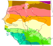
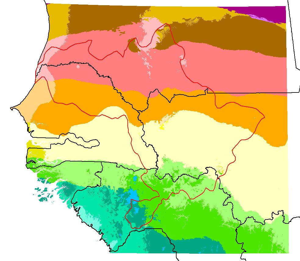
Carte raster des isobioclimats d'Afrique de l'USGS/AAG, à 90 m, 2010, clip zone OMVS
Carte des isobioclimats d'Afrique élaborée par l'USG et l'AAG (Clip_africa_thermo_plus_ombro_90m_dd84_AV.img)
Simple
- Date ( Creation )
- 2010-02-22
- GEMET - INSPIRE themes, version 1.0 ( Theme )
-
- Caractéristiques géographiques météorologiques
- Keywords ( Theme )
-
- Bioclimat
- Afrique
- USGS
- AAG
- Access constraints
- Other restrictions
- Other constraints
- Pas de restriction d’accès public selon INSPIRE
- Use limitation
- Utilisation libre sous réserve de mentionner la source (a minima le nom du producteur) et la date de sa dernière mise à jour
- Distance
- 90 m
- Metadata language
- fre
- Character set
- UTF8
- Topic category
-
- Environment
N
S
E
W
))
- Reference system identifier
- GCS_WGS84
- Distribution format
-
-
IMG
(
0
)
-
IMG
(
0
)
- OnLine resource
- ISOBIOCLIMATES.zip ( WWW:DOWNLOAD-1.0-http--download )
- Hierarchy level
- Dataset
Conformance result
- Date ( Publication )
- 2000-01-01
- Explanation
- cf. la spécification citée
- Pass
- No
- Name of measure
- -- Exactitude des caractéristiques topologiques explicitement encodées de la série de données, telles que décrites dans le champ d’application (obligatoire pour les données des thèmes Hydrographie et Réseaux de transport) --
- Statement
- To characterize African bioclimate regions,1 km spatial resolution temperature and precipitation data from the global WorldClim dataset (Hijmans, et al., 2005) and the global bioclimatology model developed by Rivas-Martinez (Rivas-Martinez and Rivas y Saenz, 2007) have been used to map 29 isobioclimates. These isobioclimate regions are areas of relatively homogenous temperature and precipitation regimes, and were constructed from a thermotypes layer and an ombrotypes layer. Thermotypic regions are areas with a relatively homogenous temperature regime, and ombrotypic regions are areas of relatively homogenous precipitation regime (Rivas-Martinez and Rivas y Saenz, 2007). All physical environment datalayers were resampled to a 90 m base resolution. See Africa_Ecosystems_Booklet_final.pdf
- File identifier
- a3f8d5a1-4039-44b8-9127-f48b8975cabc XML
- Metadata language
- fr
- Character set
- UTF8
- Hierarchy level
- Dataset
- Hierarchy level name
- Série de données
- Date stamp
- 2018-01-24T19:03:57
- Metadata standard name
- ISO 19115:2003/19139
- Metadata standard version
- 1.0
Overviews
thumbnail
large_thumbnail
Spatial extent
N
S
E
W
Provided by

Associated resources
Not available