 Mon GéoSource
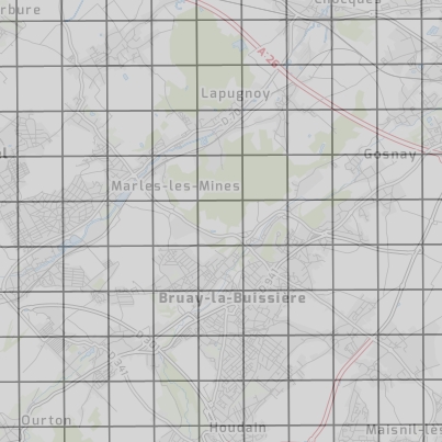
Tableau d'assemblage des prises de vues aériennes de l'orthophotographie Nord-Pas de Calais 2015
Tableau d'assemblage, date et altitude des prises de vues aériennes de l'orthophotographie Nord-Pas de Calais 2015
Simple
- Date ( Creation )
- 2015-01-01
- Identifier
- e12dc50b-353a-4b97-af59-3daf97fe67ee
- Name
- ESRI Shapefile
- Version
- 1.0
- GEMET - INSPIRE themes, version 1.0 ( Theme )
-
- Ortho-imagerie
- Keywords
-
- données ouvertes
- ortho-imagerie
- plateforme publique de l'information géographique (ppige) nord-pas de calais
- tableau d'assemblage
- Départements ( Place )
-
- NORD
- PAS-DE-CALAIS
- Access constraints
- Other restrictions
- Other constraints
- Pas de restriction d’accès public selon INSPIRE
- Access constraints
- License
- Spatial representation type
- Vector
- Distance
- 0.2 http://standards.iso.org/ittf/PubliclyAvailableStandards/ISO_19139_Schemas/resources/uom/ML_gmxUom.xml#m
- Denominator
- 1000
- Metadata language
- fr
- Character set
- UTF8
- Topic category
-
- Imagery base maps earth cover
N
S
E
W
))
- Reference system identifier
- urn:ogc:def:crs:EPSG:2154
- Geometric object type
- Complex
- Geometric object count
- 12661
- Distribution format
-
-
ESRI Shapefile
(
1.0
)
-
ESRI Shapefile
(
1.0
)
- OnLine resource
- Visualiseur PPIGE ( WWW:LINK-1.0-http--link )
- OnLine resource
-
opendata:ta_2015
(
OGC:WFS
)
Orthophotographie 2015 - Tableau assemblage
- OnLine resource
- Service WFS de la PPIGE ( OGC:WFS-2.0.0-http-get-capabilities )
- OnLine resource
- Orthophotographie 2015 - Tableau assemblage ( OGC:WFS-2.0.0-http-get-feature )
- OnLine resource
-
opendata:ta_2015
(
OGC:WMS
)
Orthophotographie 2015 - Tableau assemblage
- OnLine resource
- Service WMS de la PPIGE ( OGC:WMS-1.3.0-http-get-capabilities )
- Hierarchy level
- Dataset
Quantitative result
- Value
- Consistency has not been evaluated
- Statement
- Données Aerodata
- File identifier
- urn:isogeo:metadata:uuid:e12dc50b-353a-4b97-af59-3daf97fe67ee XML
- Metadata language
- fr
- Character set
- UTF8
- Hierarchy level
- Dataset
- Date stamp
- 2019-11-22T09:01:52
- Metadata standard name
- ISO 19115 Geographic Information - Resource
- Metadata standard version
- 2003/Cor.1:2006
Overviews
tableau
Spatial extent
N
S
E
W
Provided by

Associated resources
Not available