 Mon GéoSource
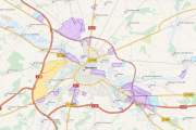
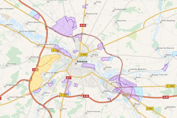
Atlas des zones d'activités
Atlas interactif des zones d'activités du pays du Grand Amiénois
\tConçu sous forme de fiches synthétiques, il décrit les caractéristiques d’une cinquantaine de sites à vocation économique, existants ou en projet, sur l’ensemble du pays.
\tFruit d’un travail partenarial remarquable, réalisé avec les membres de la plate-forme régionale Geopicardie et les acteurs économiques locaux (CCI Amiens-Picardie, conseil général de la Somme, EPCI et communes membres du pays, etc), cet atlas constitue également un média privilégié pour améliorer la connaissance collective de notre territoire en matière d’emplois et d’activités
Simple
Information de l'identification
- Date ( Création )
- 2016-08-05T15:00:00
- Identificateur
- https://www.geo2france.fr/geonetwork/srv/fre/catalog.search#/metadata/4429845f-5b3b-4180-8868-7f95e9f5743b
Contact pour la ressource
- RÈGLEMENT (CE) No 1205/2008 ( Thème )
-
- infoMapAccessService
- Mots clés ( Thème )
-
- wms 1.3.0
- Limitation d'utilisation
- Aucune condition ne s’applique
- Contraintes d'accès
- Autres restrictions
- Autres contraintes
- Pas de restriction d’accès public selon INSPIRE
- Type de service
- view
- Version du type de service
- 1.3.0
))
- Type de couplage
- Reserré
Opérations
- Nom de l’opération
- GetCapabilities
- Communication
- HTTP-GET
- Point de connection
-
Format : text/xml
(
text/xml
)
Format : text/xml
Opérations
- Nom de l’opération
- GetMap
- Communication
- HTTP-GET
- Point de connection
-
Format : image/jpeg
(
image/jpeg
)
Format : image/jpeg
- Point de connection
-
Format : image/png
(
image/png
)
Format : image/png
- Point de connection
-
Format : image/png; mode=16bit
(
image/png; mode=16bit
)
Format : image/png; mode=16bit
- Point de connection
-
Format : image/png; mode=8bit
(
image/png; mode=8bit
)
Format : image/png; mode=8bit
- Point de connection
-
Format : image/png; mode=1bit
(
image/png; mode=1bit
)
Format : image/png; mode=1bit
Opérations
- Nom de l’opération
- GetFeatureInfo
- Communication
- HTTP-GET
- Point de connection
-
Format : text/plain
(
text/plain
)
Format : text/plain
- Point de connection
-
Format : text/html
(
text/html
)
Format : text/html
- Point de connection
-
Format : text/xml
(
text/xml
)
Format : text/xml
- Point de connection
-
Format : application/vnd.ogc.gml
(
application/vnd.ogc.gml
)
Format : application/vnd.ogc.gml
- Point de connection
-
Format : application/vnd.ogc.gml/3.1.1
(
application/vnd.ogc.gml/3.1.1
)
Format : application/vnd.ogc.gml/3.1.1
Opérations
- Nom de l’opération
- sld:GetLegendGraphic
- Communication
- HTTP-GET
- Point de connection
-
Format : image/jpeg
(
image/jpeg
)
Format : image/jpeg
- Point de connection
-
Format : image/png
(
image/png
)
Format : image/png
Opérations
- Nom de l’opération
- sld:DescribeLayer
- Communication
- HTTP-GET
- Point de connection
-
Format : text/xml
(
text/xml
)
Format : text/xml
Opérations
- Nom de l’opération
- qgs:GetStyles
- Communication
- HTTP-GET
- Point de connection
-
Format : text/xml
(
text/xml
)
Format : text/xml
- Format (encodage)
-
-
(
)
-
(
)
- Ressource en ligne
-
http://carto.aduga.org/index.php/lizmap/service/?repository=observatoire&project=atlas_zae_lizmap&
(
application/vnd.ogc.wms_xml
)
http://carto.aduga.org/index.php/lizmap/service/?repository=observatoire&project=atlas_zae_lizmap&
- Ressource en ligne
-
Lien vers la fiche de métadonnées d'origine
(
WWW:LINK-1.0-http--link
)
Lien vers la fiche de métadonnées d'origine
- Ressource en ligne
- Lien vers l'application de consultation en ligne de l'ADUGA ( WWW:LINK-1.0-http--link )
- Niveau
- Service
Attributs
- Identifiant de la fiche
- 4429845f-5b3b-4180-8868-7f95e9f5743b XML
- Langue
- fr
- Jeu de caractères
- Utf8
- Type de ressource
- Service
- Nom du niveau de hiérarchie
- service
- Date des métadonnées
- 2019-06-26T14:35:02
- Nom du standard de métadonnées
- ISO 19115:2003/19139
- Version du standard de métadonnées
- 1.0
Contact
Aperçus
Étendue spatiale
Fourni par
