 Mon GéoSource
Inland waters
Type of resources
Available actions
Topics
Keywords
Provided by
Representation types
Scale
-
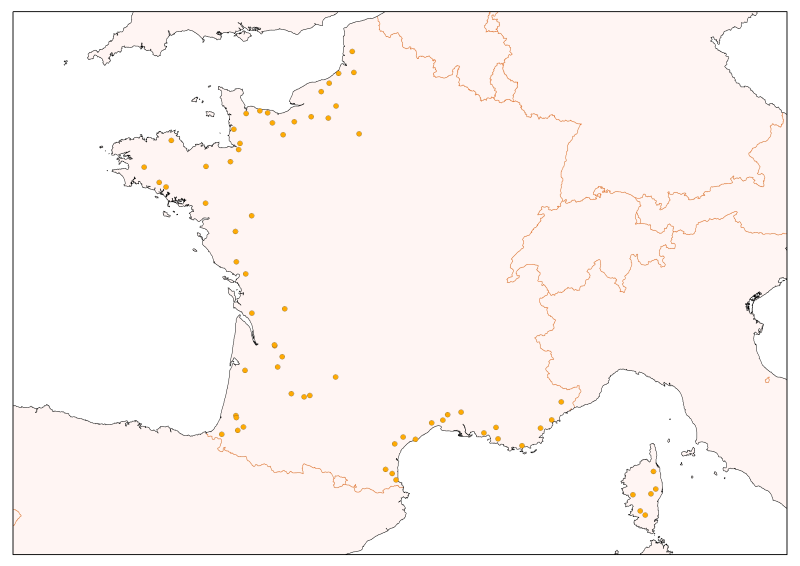
Selection of flow gauging stations of the French rivers (accessible via the central bank administered by the HYDRO SCHAPI) on the basis of hydrological function and monitoring stations. The data bank HYDRO stores measurements of water depth (variable time step) from 3500 stations (including 2400 which are currently in service) located on French rivers and provides access to descriptive data stations (main purpose, precise location, measurement quality, history, data available ...)
-
Zones corresponding to the delimitation of major watersheds and related marine areas in the Seine-Normandy basin for the assessment of pressures on the different water masses on the Normandy coast and marine sub region English Channel - North Sea. Nutrient discharges from industries and communities.
-
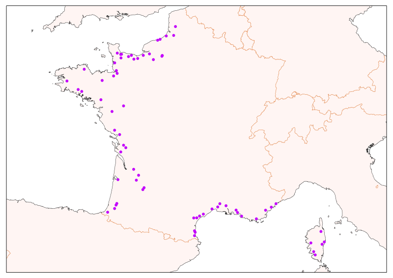
Physico-chemical monitoring stations are part of a network under the responsibility of the water agencies. Regarding the scope of strict thematic contribution "Hydrology," the monitoring stations do not come into account because they only measure the physico-chemical quality of the rivers. These stations are used only for calculations under fluvial inputs of pollutants / nutrients.
-
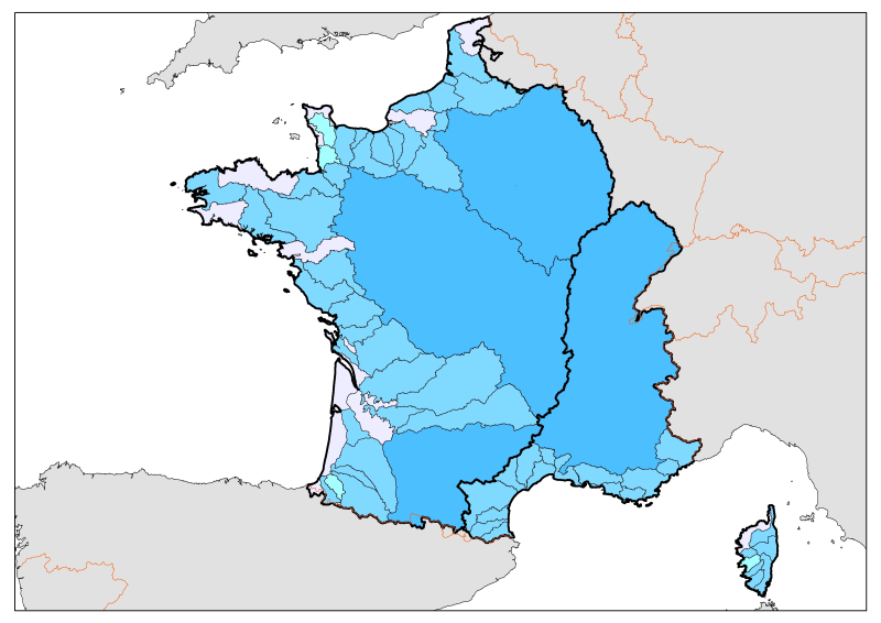
Division of French metropolitan territories to define the zones contributing to the pollutant flow carried by rivers to the sea.