 Mon GéoSource
Keyword
Society
Type of resources
Available actions
Topics
Keywords
Provided by
Representation types
From
1
-
1
/
1
-
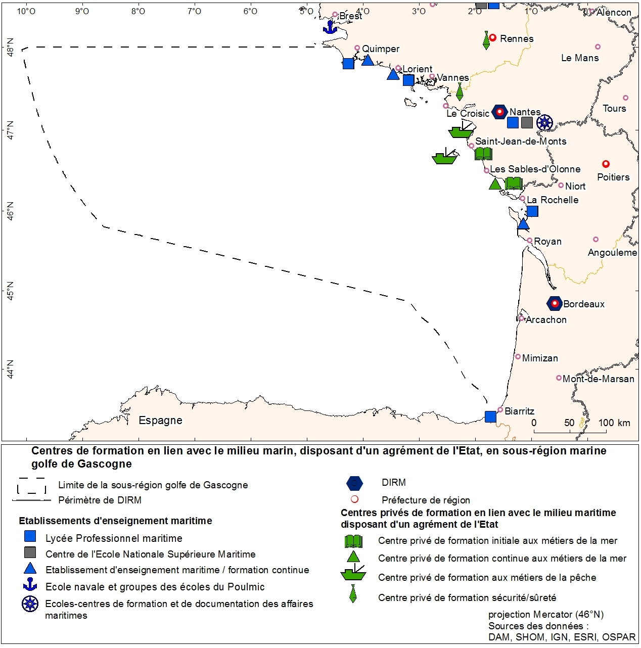
Agencies education in marine trades geolocalized to municipality. This information was produced as part of the initial assessment of the MSFD. Referent expert Sophie Devergie. WARNING: the spatial structure of the data must be improved because it contains superpositions of points (several training agencies per commune). Here the tool "Representation" of ArcGIS was used to facilitate the mapping of the data that does not meet basic standards of the topology. Ultimately, the quality of the data can be improved by refining the address geolocation.