 Mon GéoSource
Environmental monitoring facilities
Type of resources
Available actions
Topics
INSPIRE themes
Keywords
Contact for the resource
Provided by
Representation types
Update frequencies
status
Scale
-

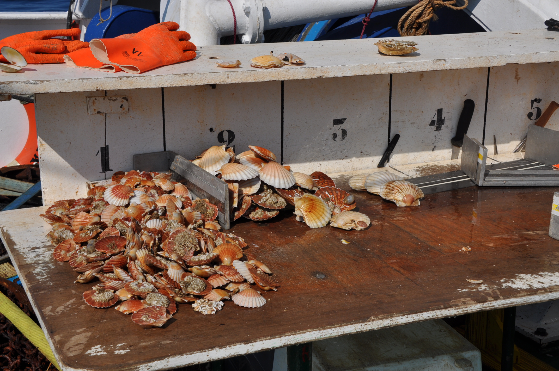
The repository of commercially exploited species of interest in the Fisheries Information System is based on the FAO's ASFIS repository enriched with species of high commercial interest in France (metropolitan and overseas).
-

The repository of location in the Fisheries Information System is divided into 3 categories: places on land, areas at sea and regulatory areas at sea. Each of these is organised hierarchically. There are 93 levels of places in Harmonie: a metadata sheet exists for each of them with, when it exists, a geographical layer.
-

The gear repository of the Fisheries Information System includes, on the one hand, the FAO fishing gears enriched with national specificities and, on the other hand, the sampling gears used during the fisheries surveys conducted by Ifremer and its partners.
-

A metier in the Fisheries Information System is a fishing practice defined by a fishing gear and a target species. They are used for statistical purposes to evaluate fishing strategies and efforts.
-

Size-weight relationships are specific to each scientific species and its environment. They allow the size of an individual to be determined from its weight or vice versa. These relationships are established statistically from a sample of individuals representative of the species.
-

The scientific species repository of the Fisheries Information System lists the species observed during fishing campaigns or within the framework of the observations of collection programmes (ObsVentes, ObsMer, Campaigns, etc.).
-

The MFSP repository of the Fisheries Information System corresponds to the combination of Parameters, Supports, Fractions, Methods and Units. It allows variables to be entered, banked and retrieved. It is associated with many other repositories: species, gear, etc.
-

For some commercial species, coefficients called live weight equivalents allow the live weight of the fish to be calculated from the weight recorded on landing, or from the net weight of the various processed products prepared on board or in factories located on the coast.
-
-
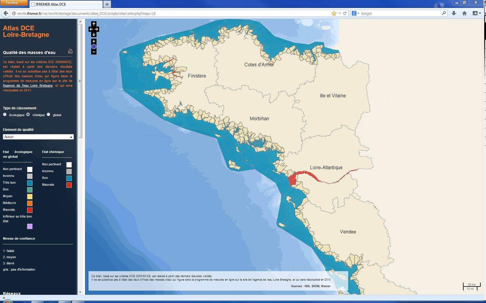
The chemical status of a coastal water body (coastal water or transition water) is determined by the most declassing of the defined states for heavy metals, pesticides, industrial pollutants and other pollutants taken into account by the WFD . The assessment is done once per management plan (once every six years). The most recent assessment of the state of the chemical state is presented in the DCE Loire-Bretagne atlas. Earlier reports are available in annual archives.