 Mon GéoSource
geoscientificInformation
Type of resources
Available actions
Topics
INSPIRE themes
Keywords
Contact for the resource
Provided by
Years
Formats
Representation types
Update frequencies
status
Scale
Resolution
-
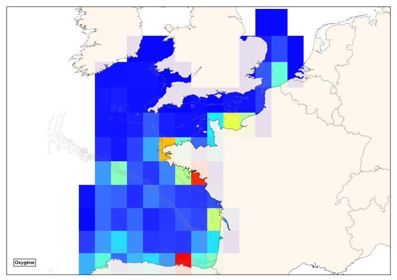
Spatial distribution of all oxygen data in degrees integrated vertically and horizontally for all sub-regions of the English Channel, the North Sea, the Celtic Seas and the Bay of Biscay.
-
Reflectivity measurements of the multibeam echosounders of the French Research Vessels
-
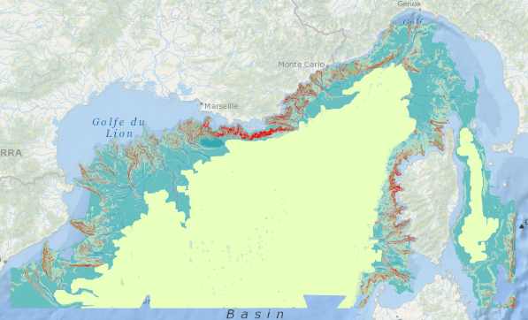
Position théorique du trait de côte (pied de dune) estimée en 2020, sans les ouvrages (sauf ouvrages majeurs du Verdon, de l'Adour et de l'Artha à St-Jean-de-Luz), uniquement sur la côte sableuse. (métadonnée en cours)
-
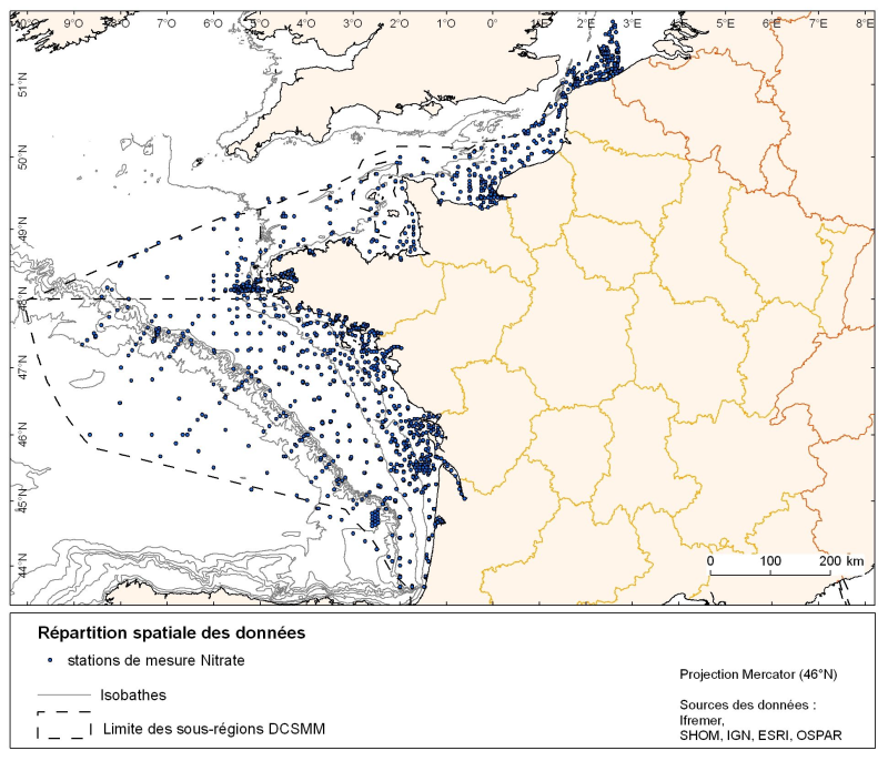
Spatial distribution for nutrients data (silicate, nitrate, nitrite, ammonium and phosphate) for all maritime regions in the English Channel and North Sea, the Celtic Seas and the Bay of Biscay. The temporal extent of the data is from 1930 to 2010, most being between 1974 and 2007 with a peak in 1999.
-
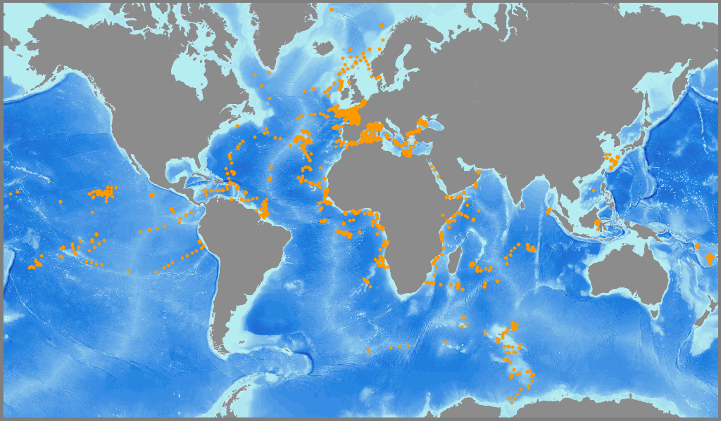
Raw underway marine gravity data from the French civil Research vessels and archived at SISMER (IFREMER)
-
Raw seismic reflexion data collected on board of the French oceanographic fleet managed by IFREMER and archived at SISMER.
-
Position théorique du trait de côte (pied de dune) 2009 Aquitain sans les ouvrages (sauf ouvrages majeurs du Verdon, de l'Adour et de l'Artha à St-Jean-de-Luz) et description de l'aléa érosion. Concerne uniquement la côte sableuse.
-
Geomorphological analysis of the continental slope of the Mediterranean sea based on a 100m Data Terrain Model (DTM). This DTM is a synthesis of data acquired during sea surveys.
-

Map of surficial sediments of the northern continental shelf of the Bay of Biscay at 1:500000 by Bouysse P. (coord.), Lesueur P. and Klingebiel A., 1986, conducted jointly by the BRGM and Ifremer.
-
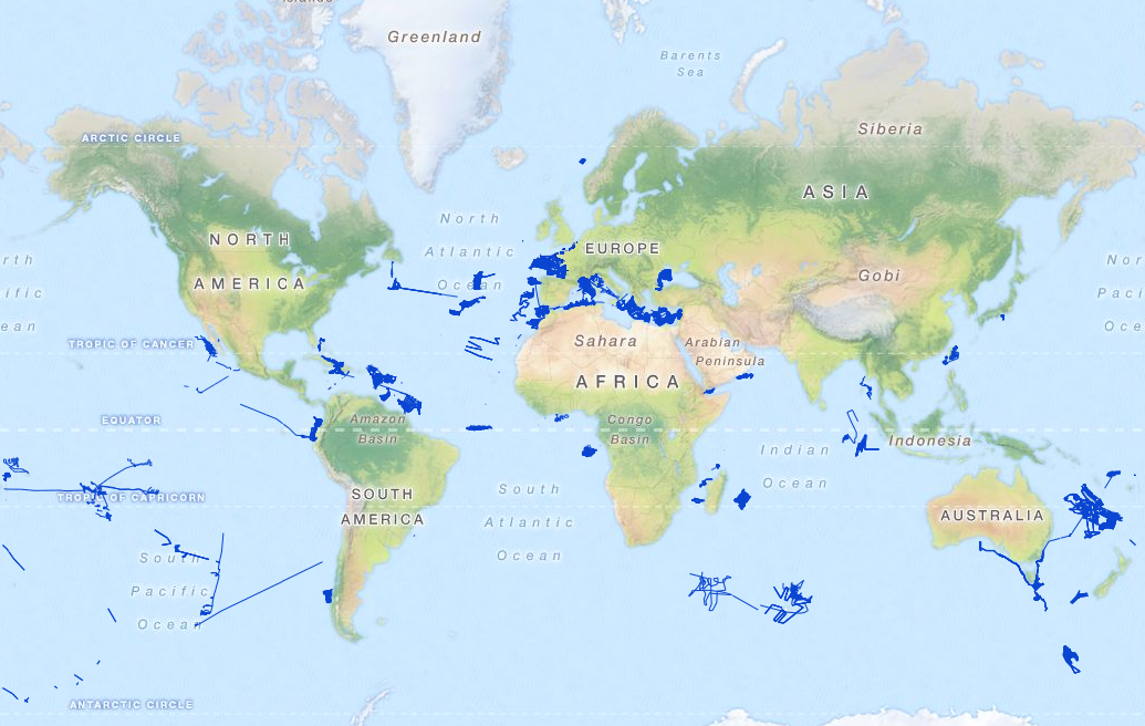
Localisation of marine geological and biological samples, stored in the biology and geology ocean database managed by IFREMER (BIGOOD, BIology and GeOlogy Ocean Database).