 Mon GéoSource
/Activités humaines/Activités agricoles
Type of resources
Available actions
INSPIRE themes
Provided by
Years
Formats
Representation types
Update frequencies
status
Scale
-
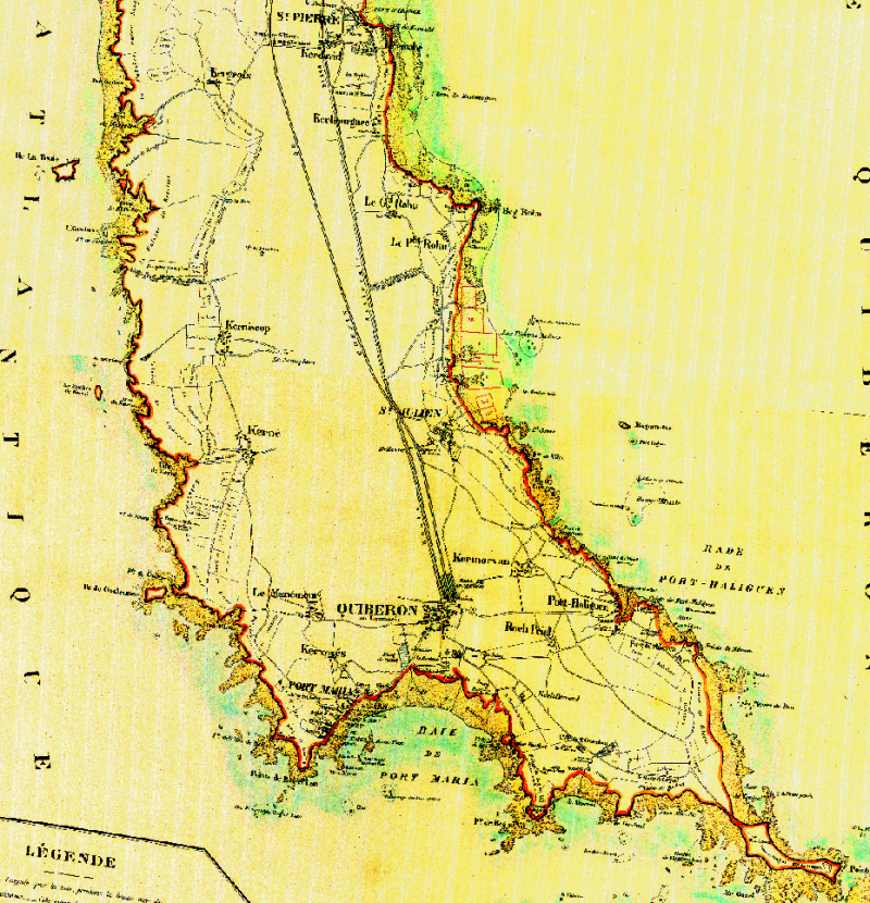
6 cartes de Ragiot dressée par le service ostréicole. Côtes de Carnac et presqu'ile de Quiberon en 1880
-
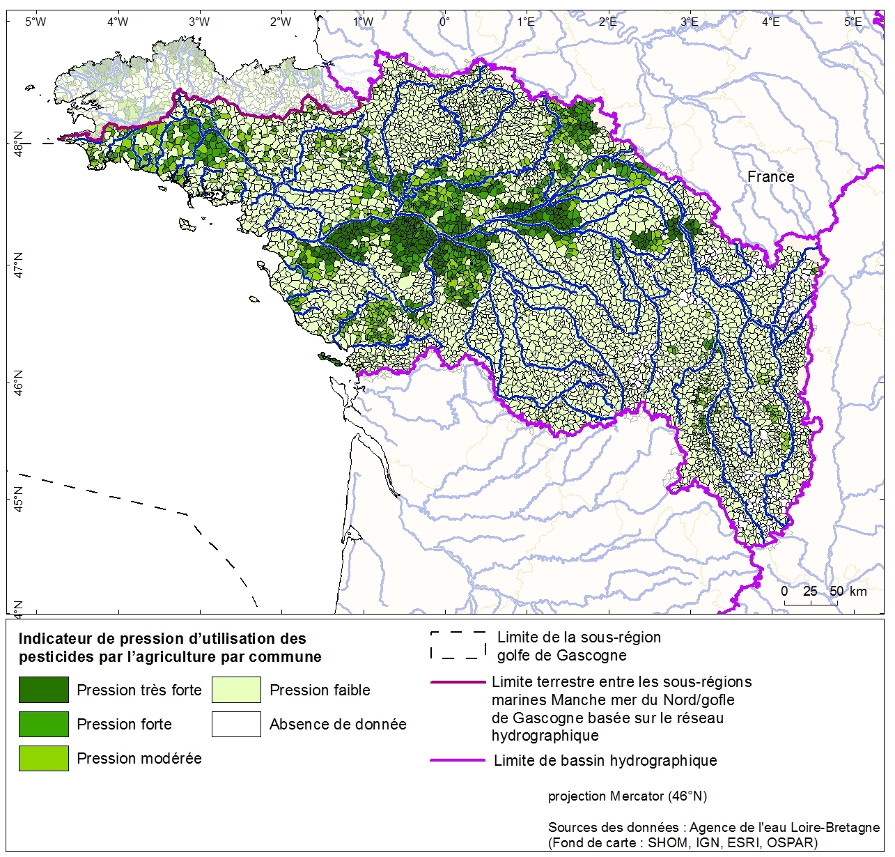
Pressure indication for agricultural pesticide use by canton of the Loire-Brittany basin. This data was collected as part of the initial assessment of the MSFD with the Water Agency of Loire-Bretagne. Referent expert AAMP: Aurélie Blanck.
-
Typologie des cultures du bassin de l'eau Loire Bretagne par canton. Donnée collectée auprès de l'Agence de l'eau Loire Bretagne dans le cadre de la phase "Etat Initial" pour la DCSMM. Référent expert : Aurélie Blanck (AAMP). Description des champs : NUM_CANT : numéro du canton, CLASSE : numéro attribué à la classe culture, TYPO_CULT : libellé de la culture
-
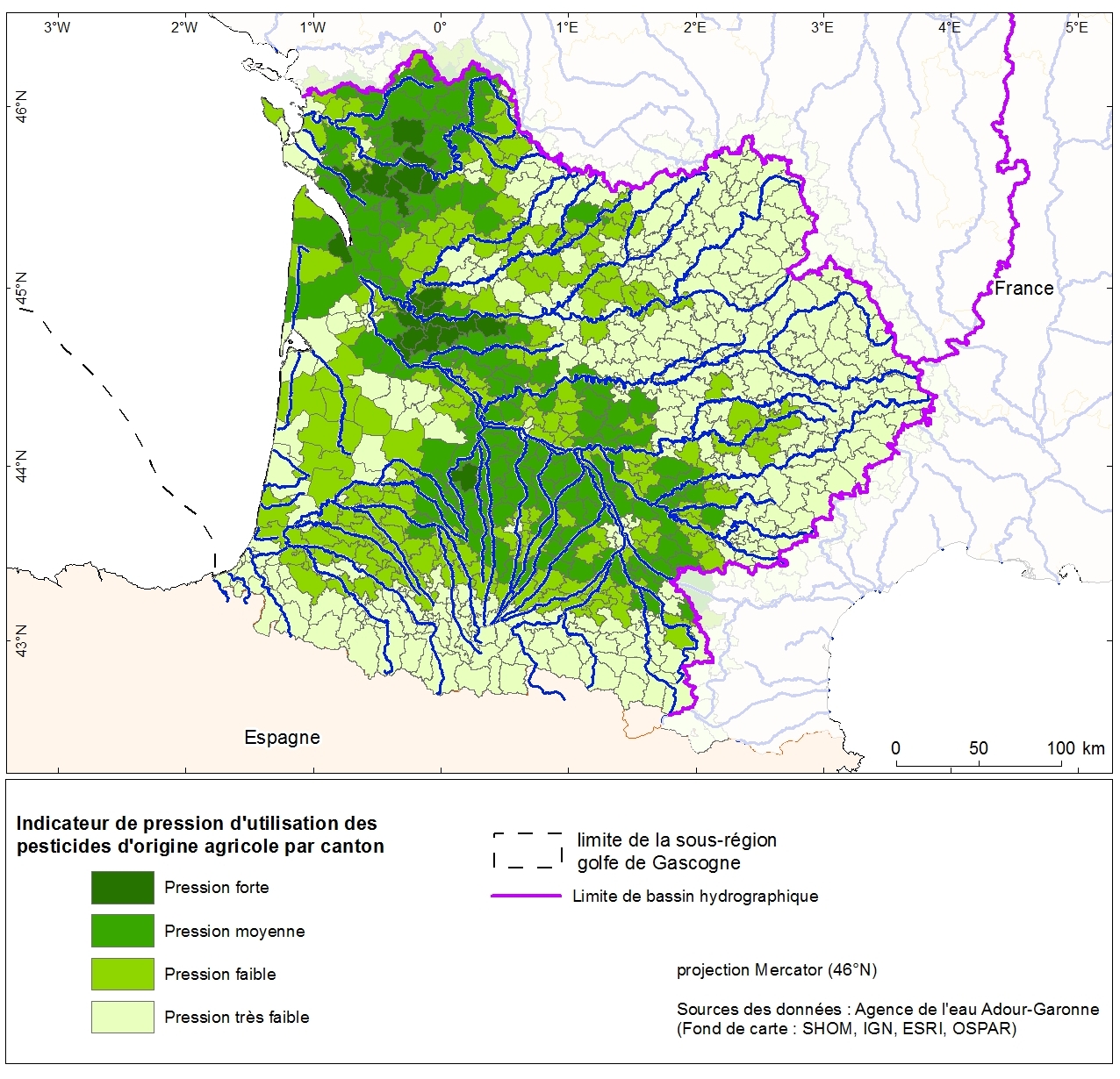
Pressure indication for agricultural pesticide use by the canton Adour-Garonne. This data was collected as part of the initial assessment of the MSFD with the Water Agency of Adour-Garonne. Referent expert AAMP: Aurélie Blanck.
-
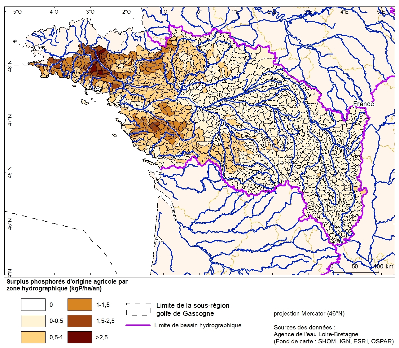
Excess phosphorus from agricultural drainage by hydrographic zone in the Loire-Bretagne basin. This data was collected as part of the "initial state" phase of DCSSM with the Loire-Bretagne Water Agency. Referent expert AAMP : Aurélie Blanck.
-
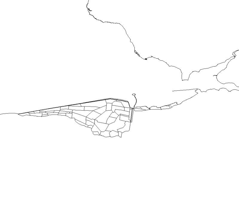
This map, realised with polygons, represents the polderized plot of bay of the Mount Saint-Michel.