 Mon GéoSource
/Physical Environment/Sedimentology Geology/Seabed Nature
Type of resources
Available actions
INSPIRE themes
Provided by
Years
Representation types
Update frequencies
status
Scale
-
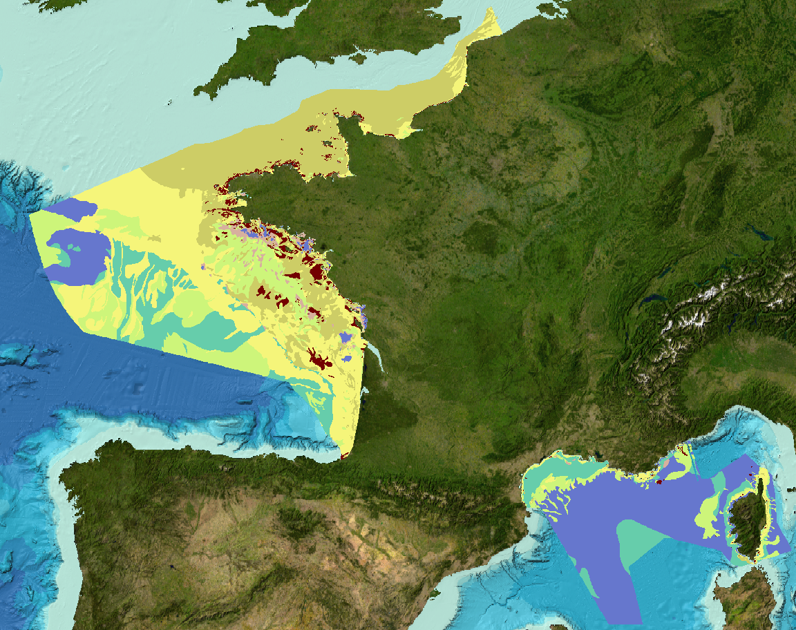
Carte des formations superficielles à 1 : 1 000 000 produite par la France dans le cadre du work-package 3 du projet européen EMODNet Geology phase 2 à l'intérieur de la ZEE métropolitaine française. Et indexation et carte de fiabilité des données-source.
-
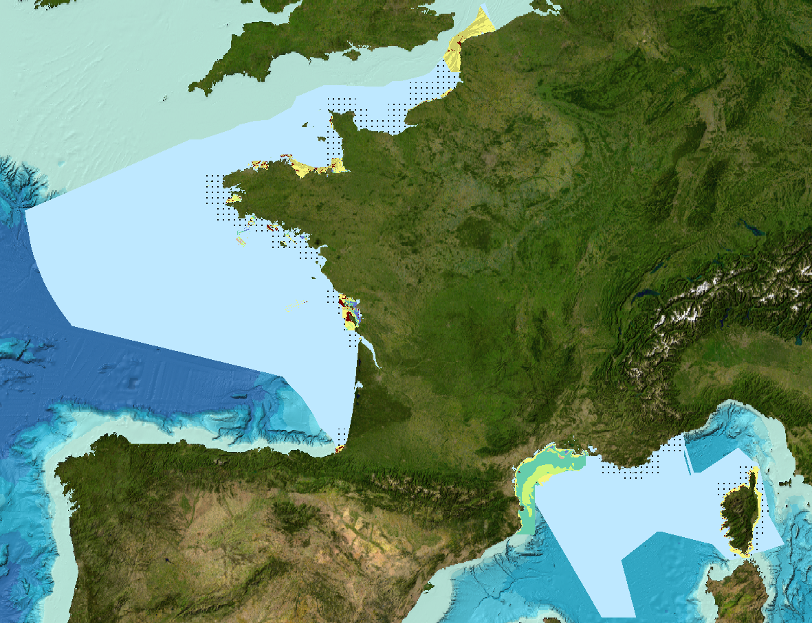
Carte des formations superficielles à 1 : 250 000 produite par la France dans le cadre du work-package 3 du projet européen EMODNet Geology, phase 2, à l'intérieur de la ZEE métropolitaine française. Et indexation et carte de fiabilité des données-source.
-
Carte des sédiments superficiels de la Manche, dite "de Larsonneur".
-
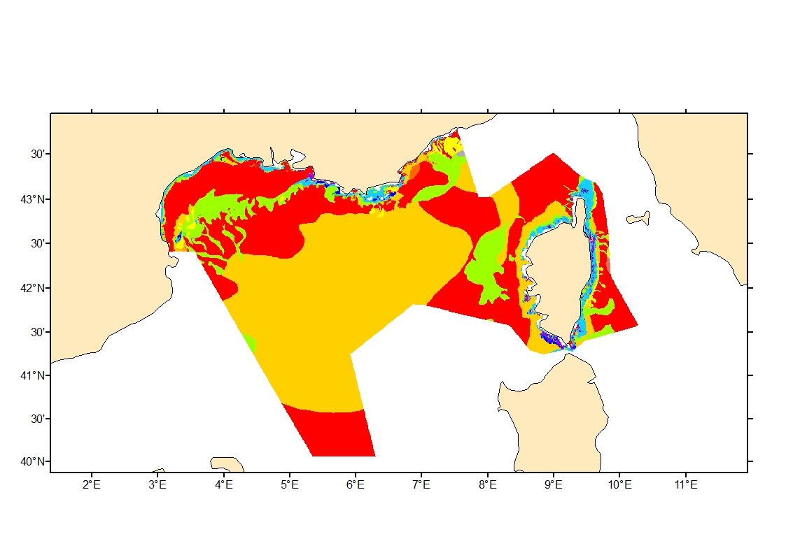
Sediment average grain size in French Mediterranean waters was generated from sediment categories. This rough granulometry estimate may be used for habitat models at meso- and large scale.
-
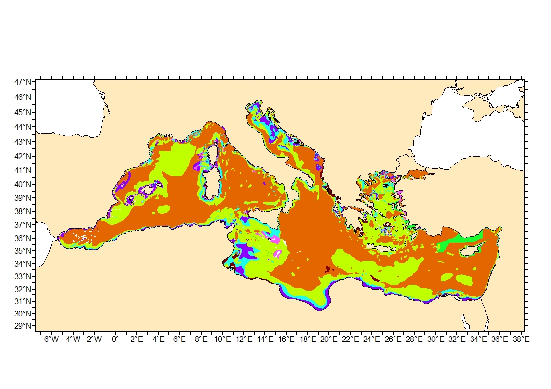
Sediment average grain size in the Mediterranean was generated from sediment categories. This rough granulometry estimate may be used for habitat models at meso- and large scale.
-

Carte des sédiments superficiels de la partie septentrionale du plateau continental du golfe de Gascogne au 1:500000 d'après Bouysse P. (coord.), Lesueur P. et Klingebiel A., 1986, réalisée conjointement par le BRGM et l'Ifremer.