 Mon GéoSource
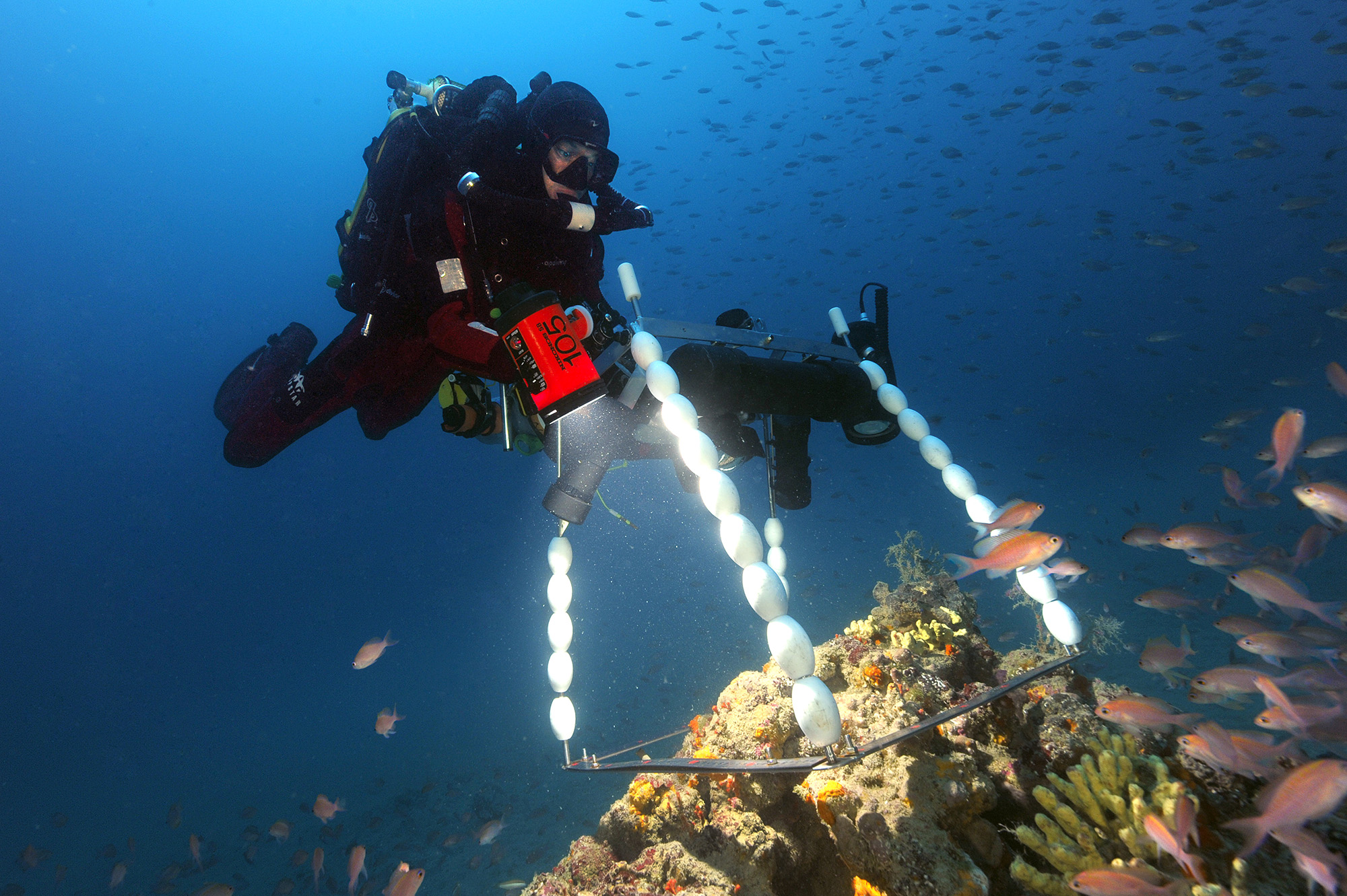
D4: Marine Food Webs
Type of resources
Available actions
Topics
INSPIRE themes
Keywords
Provided by
Representation types
Update frequencies
status
Scale
-
-
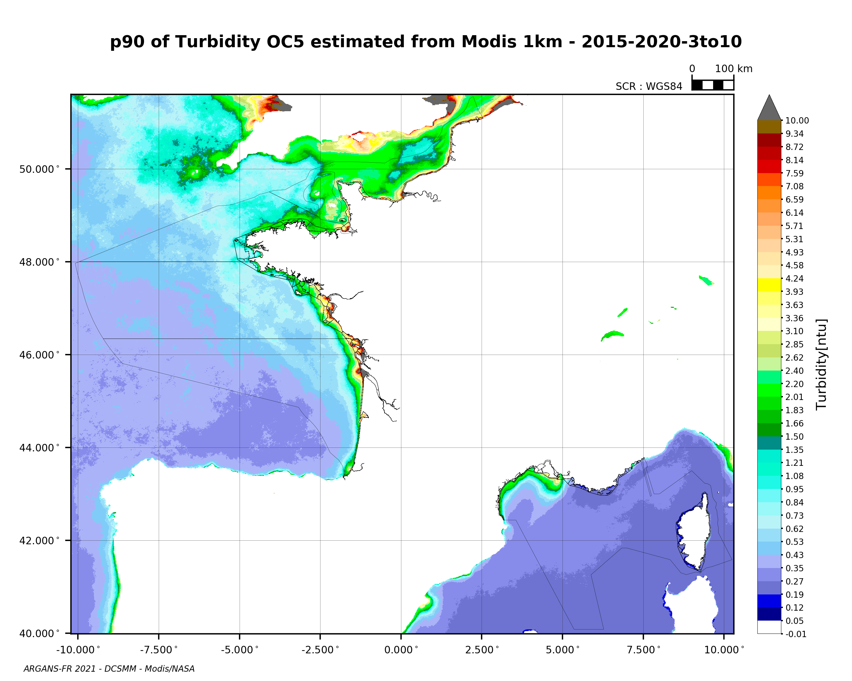
90th percentile of turbidity calculated during the productive period of the WFD (March-October) from 2015 to 2020, from the MODIS algorithm processed by OC5 IFREMER/ARGANS (Gohin et al 2002, Gohin 2011).
-
The French national network (REMI) includes a regular monitoring system and a warning system: - The regular monitoring system checks that the level of microbiological contamination in each production area remains within the limits set by the classification defined in the prefectural decree and tests unusual occurrences of contamination. - The warning system is triggered when results of the monotoring programme exceed or are at risk of exceeding the norms defining the quality classes and thresholds, or in case of contamination risk (pollution spillage, storms, etc.), or even in the case of a suspected or confirmed epidemic in shellfish.
-
The definitive coastal information system, Quadrige stores coastal observation and monitoring network data. In order to manage coastal monitoring data, Ifremer developed the Quadrige² information system. Quadrige is one element of the Water Information System (SIE) http:// www.eaufrance.fr, et à ce titre, contribue aux travaux du Secrétariat d'Administration National des Données Relatives à l'Eau (SANDRE) http://www.sandre.eaufrance.fr. Quadrige Marine Zones is a reference source unique to the Quadrige system. It is used to break down the coast of the French mainland and overseas territories into large areas and to connect each one with observation and monitoring locations.