 Mon GéoSource
/Processed data/Model outputs
Type of resources
Available actions
Topics
INSPIRE themes
Keywords
Contact for the resource
Provided by
Years
Representation types
Update frequencies
status
Scale
Resolution
-
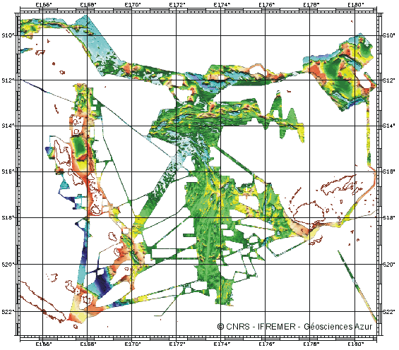
Geophysical and geochemical study of the Pacific-Antarctic ridge between S65/W175 and S60/W150. The first objective was to contribute to the understanding and modelling of the mechanisms of ocean ridge functioning on the scale of the basic accretion unit (< 100 km). The second was to study the zoning of the upper mantle on various scales, through investigating the geochemical signature of rocks from the axial valley. This cruise falls under the framework of the Inter-Ridge programme and is the result of cooperation between IFREMER/DRO/GM, INSU (CNRS,IPG, GRGS), Washington State University, Scripps (University of California) and the University of Chiba (Japan).
-
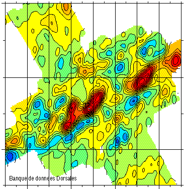
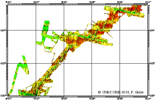
Gravimetry data of the ridge axis of Mohn's ridge (NE Atlantic) in order to study the mecanisms of the oceanic accretion.
-
-
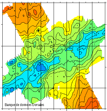
Magnetic data of the ridge axis of Mohn's ridge (NE Atlantic) in order to study the mecanisms of the oceanic accretion.
-
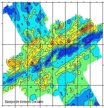
Bathymetry data of the ridge axis of Mohn's ridge (NE Atlantic) in order to study the mecanisms of the oceanic accretion.
-
Magnetic data of the ridge axis of Mohn's ridge (NE Atlantic) in order to study the mecanisms of the oceanic accretion.
-
-
Gravimetry data of the ridge axis of Mohn's ridge (NE Atlantic) in order to study the mecanisms of the oceanic accretion.
-
-
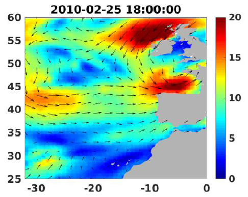
Wind analyses, estimated over the North Atlantic Ocean with a focus on some specific regions, are one the main ARCWIND (http://www.arcwind.eu/) project deliverables. They are estimated from various remotely sensed wind observations in combination with numerical model (WRF), with regular space (0.25deg in latitude and longitude), and time (00h:00, 06h:00, 12h:00, 18h:00 UTC), and based the method described in (Bentamy A., A. Mouche, A. Grouazel, A. Moujane, M. A. Ahmed. (2019): Using sentinel-1A SAR wind retrievals for enhancing scatterometer and radiometer regional wind analyses . International Journal Of Remote Sensing , 40(3), 1120-1147 . https://doi.org/10.1080/01431161.2018.1524174).