 Mon GéoSource
Keyword
Lower Normandy
Type of resources
Available actions
Topics
INSPIRE themes
Keywords
Provided by
Representation types
Update frequencies
status
Scale
From
1
-
2
/
2
-
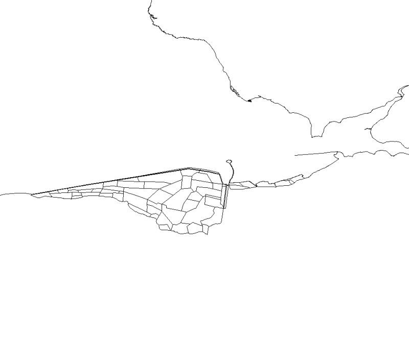
This map, realised with polygons, represents the polderized plot of bay of the Mount Saint-Michel.
-

Map of the distribution of the slipper-shell limpet population (Crepidula fornicata) in Mont Saint-Michel bay, by Blanchard et al. (2004).