 Mon GéoSource
notPlanned
Type of resources
Available actions
Topics
INSPIRE themes
Keywords
Contact for the resource
Provided by
Years
Formats
Representation types
Update frequencies
status
Scale
Resolution
-
-
Geomorphological analysis of the continental slope of the Mediterranean sea based on a 100m Data Terrain Model (DTM). This DTM is a synthesis of data acquired during sea surveys.
-
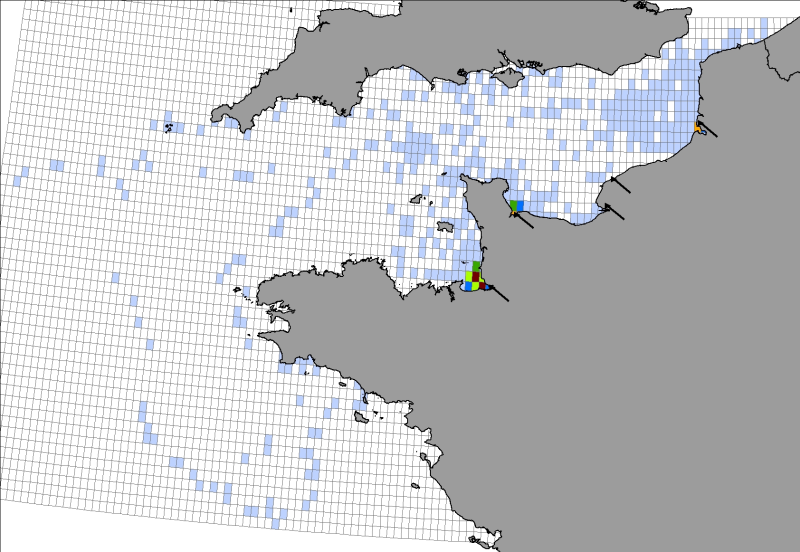
Location distribution per grid cell of 8 harbor seals (Phoca vitulina), followed by Fastloc GPS / GSM tags from the bay of Mont Saint-Michel from 2006 to 2008
-
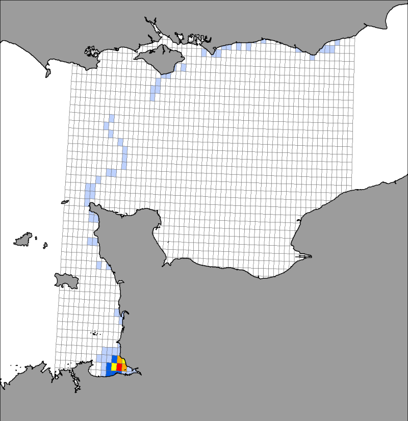
Location distribution per grid cell of 8 young harbor seals (Phoca vitulina), followed by Argos tags (between 2005 and 2008) along the English Channel coast following rehabilitation at the care center CHENE.
-
-
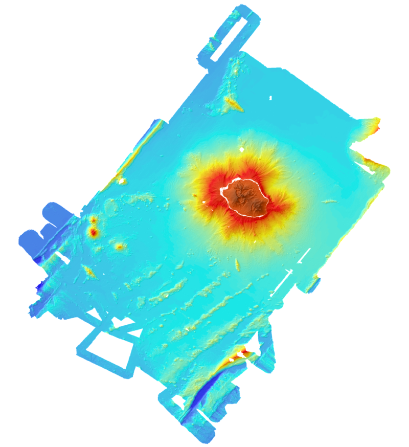
Bathymetric and topographic model of the island of La Réunion. Topography is from IGN data. Bathymetry is derived from the multibeam data acquired during the campaigns Forever (2006, EM12D sounder) Eroder1 (2006, EM120 sounder) and Eroder2 (2007, EM120 sounder). The grid spacing is 300m.
-
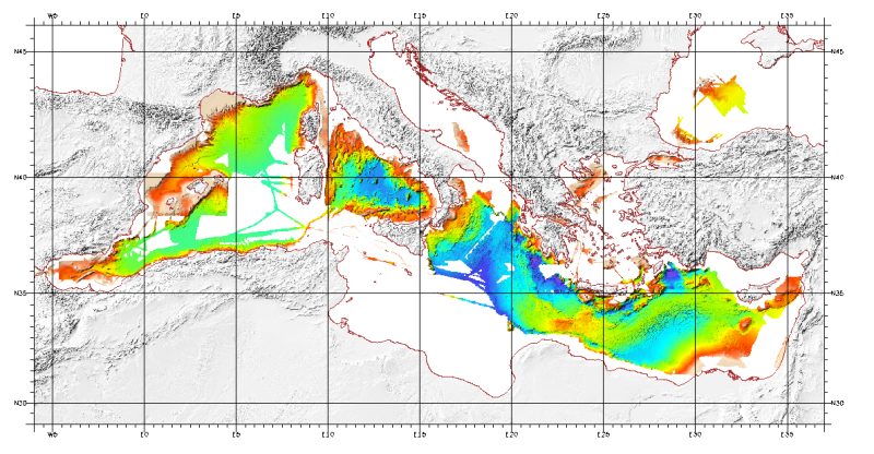
Bathymetric model (DTM) of the Mediterranean. MediMap group. Bathymetry data acquired by multibeam sounders during campaigns Almofront.leg1 and Almofront.leg2, Almofront, Bretane, Seamewe2, Heralis, Medee, Anaxiprobe, Almofront2 - leg1 and leg2, Prismed2, Marmara, Fanil, Tvic5 et 6, Progres, Maradja, Blac, Nautinil, Medor-Simed1 / 2 / 3 / 4 / 5, Maradja2, Sardinia, Prisme, Assemblage and Thertou. Integration of partner organizations DTM. This DTM is available at two cell sizes : 500 m and 1000 m.
-
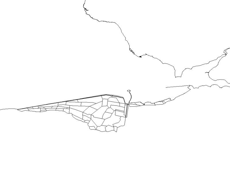
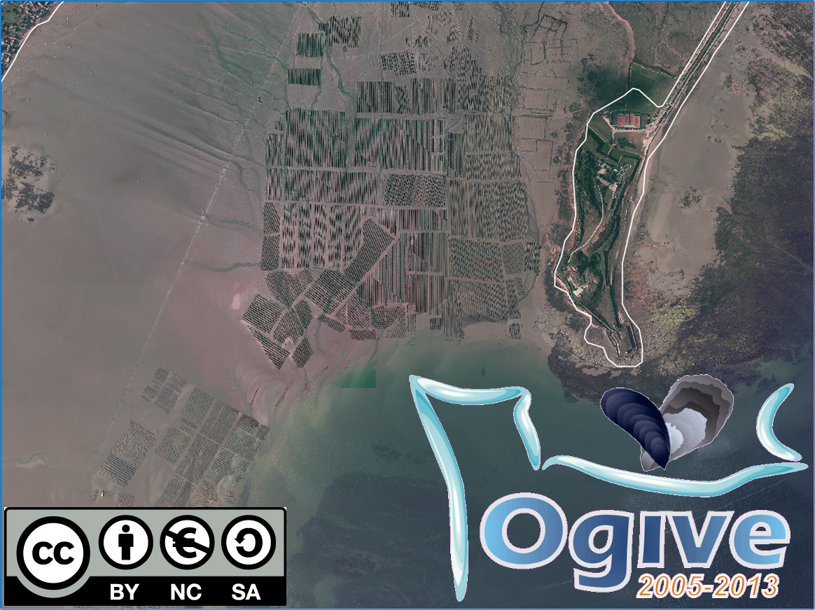
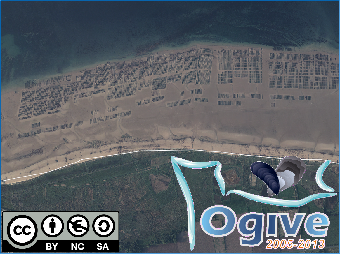
This map, realised with polygons, represents the polderized plot of bay of the Mount Saint-Michel.
-
-

Map of the distribution of the slipper-shell limpet population (Crepidula fornicata) in Mont Saint-Michel bay, by Blanchard et al. (2004).