 Mon GéoSource
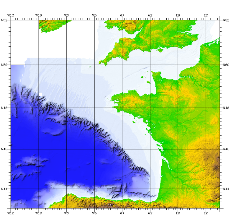
English Channel
Type of resources
Available actions
Topics
INSPIRE themes
Keywords
Contact for the resource
Provided by
Representation types
Update frequencies
status
Scale
-
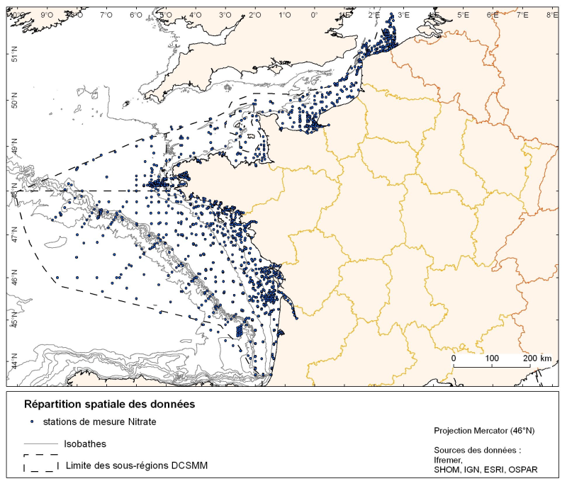
Spatial distribution for nutrients data (silicate, nitrate, nitrite, ammonium and phosphate) for all maritime regions in the English Channel and North Sea, the Celtic Seas and the Bay of Biscay. The temporal extent of the data is from 1930 to 2010, most being between 1974 and 2007 with a peak in 1999.
-
Seasonal spatial distribution of gray seals (Halichoerus grypus) on their haul out sites identified by the ONCFS on the rocks of Portsall in 2010.
-
Spatial distribution of quarterly harbor seals (Phoca vitulina) identified by Aérobaie and the Réserve Naturelle du Domaine de Beauguillot (Nature Reserve of Beauguillot) on their haul out sites in the Bay of Somme from 2007 to 2009 inclusive.
-
Quarterly spatial distribution of gray seals (Halichoerus grypus) identified by the LPO (Seven Islands Nature Reserve) on haul out sites in the Seven Islands archipelago, from 2007 to 2009 inclusive.
-
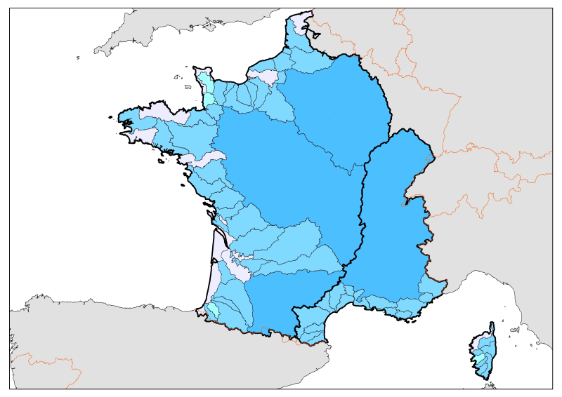
Division of French metropolitan territories to define the zones contributing to the pollutant flow carried by rivers to the sea.
-
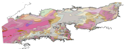
Map of surficial sediments in the English Channel area known as "Larsonneur."
-
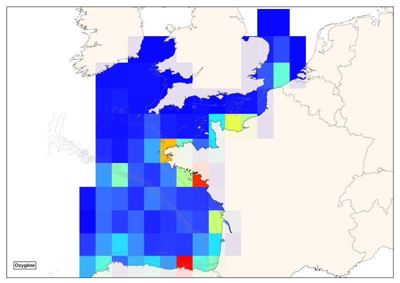
Spatial distribution of all oxygen data in degrees integrated vertically and horizontally for all sub-regions of the English Channel, the North Sea, the Celtic Seas and the Bay of Biscay.
-
Occurrence data of strandings of marine mammals collected by the correspondents of the National Stranding Network (date, position, species) in metropolitan France in 2014-2020.
-
-
This bathymetric model is the result of compiling data and numerical models prior to 2008 in the Bay of Biscay. These datasets are available at a resolution of 500 m and 1000 m. Contours are also available for both digital terrain model (DTM). Public access granted under certain conditions.