 Mon GéoSource
continual
Type of resources
Available actions
Topics
INSPIRE themes
Keywords
Contact for the resource
Provided by
Years
Representation types
Update frequencies
status
Scale
-
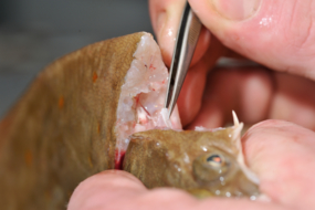
ObsBio, the collection of individual biological parameters such as size, weight, sex, age are necessary data to know by elevation, the share of the populations in the recruitment of young fish, in the natural mortality and in the mortality by fishing
-

The repository of commercially exploited species of interest in the Fisheries Information System is based on the FAO's ASFIS repository enriched with species of high commercial interest in France (metropolitan and overseas).
-
The repository of location in the Fisheries Information System is divided into 3 categories: places on land, areas at sea and regulatory areas at sea. Each of these is organised hierarchically. There are 93 levels of places in Harmonie: a metadata sheet exists for each of them with, when it exists, a geographical layer.
-
-
Vessel Monitoring System (VMS) data is the data from the Community's satellite-based fishing vessel monitoring system, which provides data on the position, course and speed of vessels to fisheries authorities at regular intervals.
-
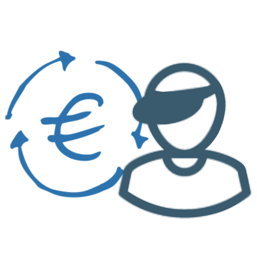
The collection of socio-economic data from professional fishermen makes it possible to calculate economic indicators by fleet segment and contributes in particular to evaluating the economic performance of each fleet and the impacts of the implementation of management measures. It also makes it possible to evaluate the weight of French fishing in Europe, the share of fishing in the national and regional economy as well as the attractiveness of the profession and the impact of cost variations such as the cost of fuel.
-

The gear repository of the Fisheries Information System includes, on the one hand, the FAO fishing gears enriched with national specificities and, on the other hand, the sampling gears used during the fisheries surveys conducted by Ifremer and its partners.
-
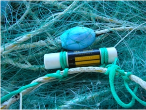
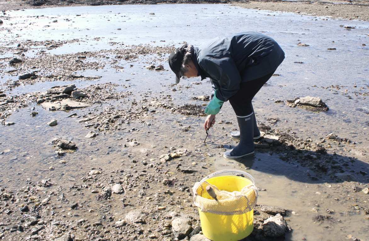
The national multidisciplinary RECOPESCA programme is a collaboration between volunteer fishermen and scientists for the automated collection of geolocated physical and fisheries environmental data from the coastal domain. The principle consists of installing sensors on gear to measure environmental parameters, from the surface to the bottom, and to record detailed data on fishing activity and effort. The data acquired feeds the operational coastal oceanography database (coastal component of Coriolis) and the fisheries database of the SIH (Harmonie). The programme thus responds to research issues (physical and fisheries), the implementation of the ecosystem approach to fisheries, support for public policies (DCSMM, DCF, CMEMS) and Ifremer's innovation in the coastal field.
-
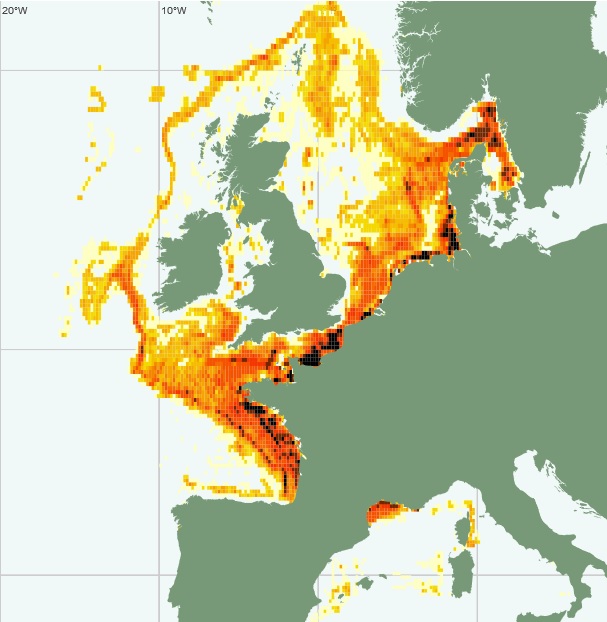
The definitive coastal information system, Quadrige stores coastal observation and monitoring network data. In order to manage coastal monitoring data, Ifremer developed the Quadrige² information system. Quadrige is one element of the Water Information System (SIE) http:// www.eaufrance.fr, et à ce titre, contribue aux travaux du Secrétariat d'Administration National des Données Relatives à l'Eau (SANDRE) http://www.sandre.eaufrance.fr. Quadrige Marine Zones is a reference source unique to the Quadrige system. It is used to break down the coast of the French mainland and overseas territories into large areas and to connect each one with observation and monitoring locations.
-
These data provide information on the characteristics of shipowners and vessels: registration, year of construction, material, length, port, place of registration, membership of the FPC file, tonnage, power.