 Mon GéoSource
IFREMER SIH
Type of resources
Available actions
Topics
INSPIRE themes
Keywords
Contact for the resource
Provided by
Years
Representation types
Update frequencies
status
-
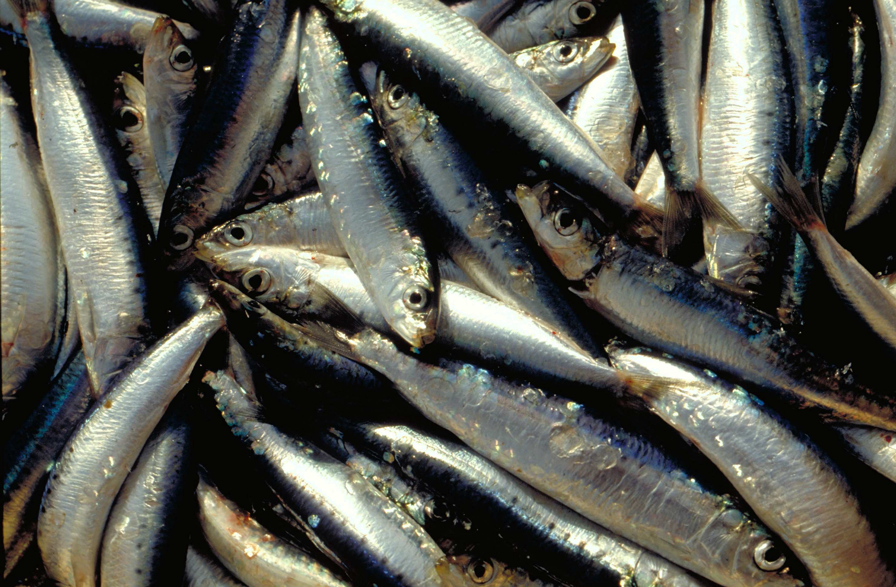
La campagne annuelle d'évaluation des ressources halieutiques PELMED (PELagiques MEDiterranée) est menée par le Laboratoire Halieutique Méditerranée de la station Ifremer de Sète. Les objectifs de ces campagnes sont : 1. Évaluer la biomasse des petits pélagiques (anchois, sardines) par méthode directe. Pour cela, la campagne doit alterner entre prospection acoustique et chalutages d'identification. Un signal acoustique est envoyé depuis un sondeur fixé sous le navire et chaque fois qu'il rencontre le fond ou des bancs de poissons, il est réfléchi et retransmis aux sondeurs. Ainsi, on peut observer en continu la forme et l'intensité de ces échos qui matérialisent les bancs de poissons. Des chalutages d'identification des espèces sont effectués afin de définir la proportion des espèces présentes dans les échos détectés. 2. Collecter le plus grand nombre de paramètres biologiques possible sur les espèces cibles de petits pélagiques (anchois, sardines, sprats) pour mieux comprendre la dynamique de population de ces espèces. Pour cela, des mesures morphométriques, ainsi que la détermination du sexe et du stade de maturité des poissons sont réalisées. Enfin, des otolithes sont prélevés afin de pouvoir déterminer l'âge des poissons. Ces paramètres biologiques sont très importants pour compléter l'évaluation de biomasse et avoir une meilleure compréhension des processus sous-jacents à la variabilité de ces populations. Cela permet par exemple de déterminer la structure en âge ou en taille des populations, d'avoir une idée de leurs réserves énergétiques, etc. 3. Mieux comprendre l'écosystème pélagique dans son ensemble, du plancton aux prédateurs supérieurs. La campagne PELMED a pour but premier d'évaluer les stocks de petits pélagiques, mais elle s'attache également à accumuler le plus de données possible sur les différents compartiments de l'écosystème pélagique, allant des paramètres physiques (température, salinité) aux prédateurs supérieurs (mammifères marins, oiseaux), en passant par les différents niveaux trophiques inférieurs (phyto- et zooplancton, poissons petits pélagiques). Ainsi, après chaque chalutage, une station hydrologique est réalisée avec la mesure de la température et de la salinité le long de la colonne d'eau via une CTD, des prélèvements d'eau et de phytoplancton avec une bouteille Niskin et des prélèvements de zooplancton à l'aide d'un trait vertical de WP2. Enfin, tout au long de la campagne nous réalisons l'observation et le comptage des oiseaux et mammifères marins. En plus de la compréhension de l'écosystème, ceci devrait permettre de fournir un certain nombre d'indicateurs nécessaires au suivi du milieu marin dans le cadre de la DCSMM (Directive Cadre sur le Milieu Marin).
-
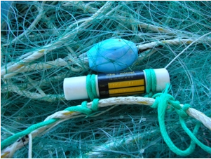
Le programme national pluridisciplinaire RECOPESCA est une collaboration entre pêcheurs volontaires et scientifiques pour la collecte automatisée de données environnementales physiques et halieutiques géolocalisées du domaine côtier. Le principe consiste à installer des capteurs sur les engins mesurant les paramètres environnementaux, depuis la surface jusqu'au fond, et à enregistrer des données fines sur l’activité et l'effort de pêche. Les données acquises alimentent les bases de données de l’océanographie côtière opérationnelle (volet côtier de Coriolis) et halieutique du SIH (Harmonie). Le programme répond ainsi à la fois à des problématiques de recherche (physique et halieutique), de mise en œuvre de l’approche écosystémique des pêches, d’appui aux politiques publiques (DCSMM, DCF, CMEMS) et d’innovation de l’Ifremer dans le domaine côtier.
-

Le référentiel des engins du Système d’Informations Halieutiques comprend d’une part, les engins de pêche de la FAO enrichi avec des spécificités nationales, et d’autre part les engins de prélèvement utilisés au cours des campagnes halieutiques menées par l’Ifremer et ses partenaires.
-
Acquisition de données et connaissances pour l’élaboration d’aides à la Gestion Intégrée des Populations de Bar de l’Atlantique du Nord-Est.
-

Le référentiel des PSFM du Système d’Informations Halieutiques correspond à la combinaison de Paramètres, Supports, Fractions, Méthodes et Unités. Il permet la saisie, la bancarisation et la restitution de variables. Il est associé à de nombreux autres référentiels : espèces, engins, …
-

Les sous-unités statistiques de Guyane ont été définies par le SIH (Système d'Informations Halieutiques). Ces zones de pêche référencées permettent de collecter et de restituer la donnée halieutique des zones côtières de Guyane. Elles inventorient les zones côtières les plus fréquentées par la petite pêche côtière.