10 m
Type of resources
Available actions
INSPIRE themes
Provided by
Years
Formats
Representation types
Update frequencies
status
Scale
Resolution
-
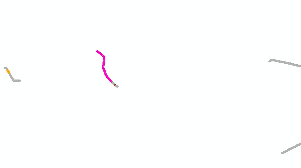
Cold-water coral habitat mapping in submarine canyons of the bay of Biscay was realized by the deep sea laboratory of Ifremer. Data came from the BOBGEO1 cruise in the framework of the CoralFish project and as part of an agreement between Ifremer and the Agence des Aires Marines Protégées. The method was based on image analyses. Images were acquired using the towed camera « SCAMPI » during the BOBGEO1 cruise (from 14/10/2009 to 28/10/2009, chief scientist: Jean-François BOURILLET). Observed habitats were defined according to the CoralFish typology (J.S. Davies, B. Guillaumont, F. Tempera, A. Vertino, L. Beuck, S.H. Ólafsdóttir, C.J. Smith, J.H. Fosså, I.M.J. van den Beld, A. Savini, A. Rengstorf, C. Bayle, J.-F. Bourillet, S. Arnaud-Haond, A. Grehan, 2017. A new classification scheme of European cold-water coral habitats: Implications for ecosystem-based management of the deep sea, In Deep Sea Research Part II: Topical Studies in Oceanography, Volume 145, 2017, Pages 102-109, ISSN 0967-0645, https://doi.org/10.1016/j.dsr2.2017.04.014).
-

Nombre d'espèces de faune et/ou de flore protégées présentes dans la commune. Résultat pour tous les groupes d'espèces ou pour un groupe d'espèces (flore, insecte, mammifère, oiseau, amphibien, reptile, poisson). Également disponible par maille 5x5 km et par maille 10x10 km. Espèces protégées : espèces bénéficiant d'une protection nationale ou régionale (L. 411-1 et suivants et R. 411-1 et suivants du code de l'environnement). Agrégation des données provenant des bases de données administrées par les animateurs de réseaux de collecte en charge de la validation scientifique des données.
-
Modèle numérique de terrain (MNT) produit à partir de photographies aériennes stéréoscopiques à 20 cm de résolution spatiale de l'orthophotographie PPIGE 2012-2013. Il se présente sous forme d'un semis de points aux pas de 10 et 20 mètres couvrant l'ensemble de la Région Nord - Pas de Calais. Quatre produits dérivés en ont été extraits : les courbes de niveau, le Triangular Irregular Network, le MNT Raster et l'ombrage.
-

Nombre d'espèces de faune et/ou de flore menacées d'extinction présentes dans la commune, selon le statut de liste rouge régional Franche-Comté. Résultat pour tous les groupes d'espèces ou pour un groupe d'espèces (flore, insecte, mammifère, oiseau, amphibien, reptile, poisson). Également disponible par maille 5x5 km et par maille 10x10 km. Espèces menacées : espèce disparue au niveau régional (RE), En danger critique (CR), En danger (EN), Vulnérable (VU), Quasi menacée (NT), Données insuffisantes (DD) Agrégation des données provenant des bases de données administrées par les animateurs de réseaux de collecte en charge de la validation scientifique des données.
-
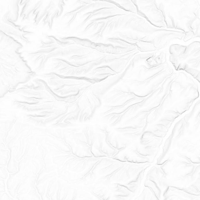
Ombrage de la Région Nord - Pas de Calais sous forme d'image numérique.
-
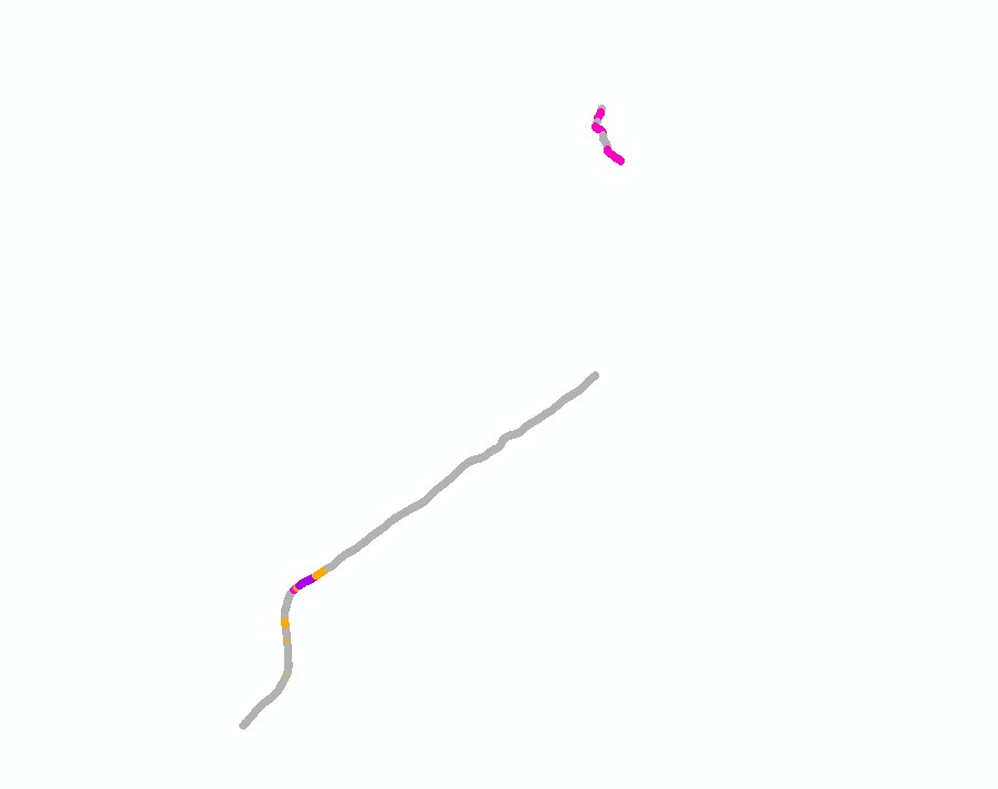
Cold-water coral habitat mapping in submarine canyons of the bay of Biscay was realized by the deep sea laboratory of Ifremer. Data came from the BOBGEO2 cruise in the framework of the CoralFish project and as part of an agreement between Ifremer and the Agence des Aires Marines Protégées. The method was based on image analyses. Images were acquired using the towed camera « SCAMPI » during the BOBGEO2 cruise (from 18/07/2010 to 25/07/2010, chief scientist: Jean-François BOURILLET, Ifremer Brest). Observed habitats were defined according to the CoralFish typology (J.S. Davies, B. Guillaumont, F. Tempera, A. Vertino, L. Beuck, S.H. Ólafsdóttir, C.J. Smith, J.H. Fosså, I.M.J. van den Beld, A. Savini, A. Rengstorf, C. Bayle, J.-F. Bourillet, S. Arnaud-Haond, A. Grehan, 2017. A new classification scheme of European cold-water coral habitats: Implications for ecosystem-based management of the deep sea, In Deep Sea Research Part II: Topical Studies in Oceanography, Volume 145, 2017, Pages 102-109, ISSN 0967-0645, https://doi.org/10.1016/j.dsr2.2017.04.014).
-
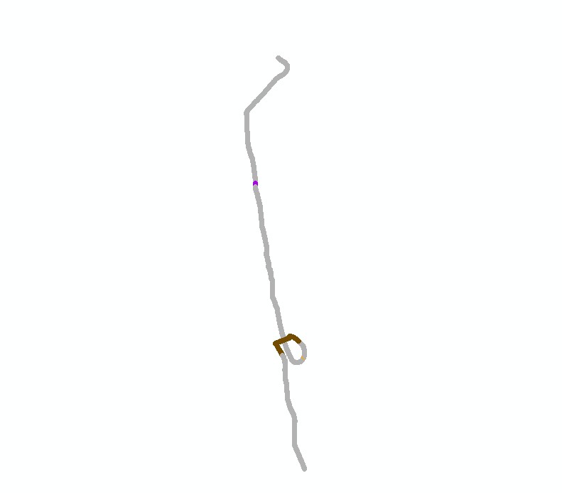
Cold-water coral habitat mapping in submarine canyons of the bay of Biscay was realized by the deep sea laboratory of Ifremer. Data came from the EVHOE 2012 cruise in the framework of the CoralFish project and as part of an agreement between Ifremer and the Agence des Aires Marines Protégées. The method was based on image analyses. Images were acquired using the towed camera « SCAMPI » during the EVHOE 2012 cruise (from 18/10/2012 to 02/12/2012, chief scientists: Jean-Pierre LEAUTE and Michèle SALAUN). Observed habitats were defined according to the CoralFish typology (J.S. Davies, B. Guillaumont, F. Tempera, A. Vertino, L. Beuck, S.H. Ólafsdóttir, C.J. Smith, J.H. Fosså, I.M.J. van den Beld, A. Savini, A. Rengstorf, C. Bayle, J.-F. Bourillet, S. Arnaud-Haond, A. Grehan, 2017. A new classification scheme of European cold-water coral habitats: Implications for ecosystem-based management of the deep sea, In Deep Sea Research Part II: Topical Studies in Oceanography, Volume 145, 2017, Pages 102-109, ISSN 0967-0645, https://doi.org/10.1016/j.dsr2.2017.04.014).
-
Jeu de données des limites terre-mer de France métropolitaine BD Topage® version 2019 Il s'agit des lignes au niveau desquelles une masse continentale est en contact avec une masse d'eau. Le plan de référence de la limite terre-eau doit être une référence à une hauteur en eau. Correspond au concept « LandWaterBoundary » d'Inspire.
-
Images SPOT 4 à 10m de résolution sur la vallée du fleuve Sénégal (mosaïque), DCIG, Mauritanie, 2007

Série de 13 images orthorectifées
-
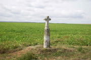
Inventaire du patrimoine architectural, urbain et paysager sur le territoire de la Communauté de Communes des Lisières de l'Oise
 Mon GéoSource