/Metropolitan France/Western Mediterranean
Type of resources
Available actions
Topics
INSPIRE themes
Keywords
Contact for the resource
Provided by
Years
Representation types
Update frequencies
status
Scale
-
Geomorphological analysis of the continental slope of the Mediterranean sea based on a 100m Data Terrain Model (DTM). This DTM is a synthesis of data acquired during sea surveys.
-
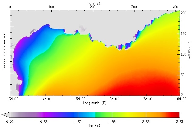
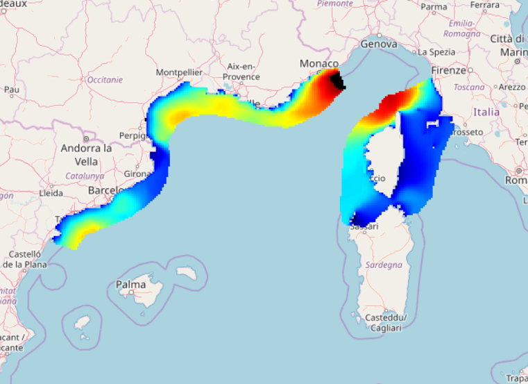
IOWAGA sea-states hindcast database generated by the wave model WAVEWATCH-III and forced by ECMWF winds on the North mediterranean unstructured grid over 2009-2010 period.
-
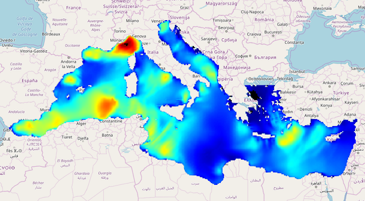
IOWAGA sea-states hindcast database generated by the wave model WAVEWATCH-III and forced by ECMWF winds on the Mediterranean grid over 2005-2017 period.
-
IOWAGA sea-states hindcast database generated by the wave model WAVEWATCH-III and forced by ECMWF winds on the North mediterranean grid over 2004-2017 period.
-
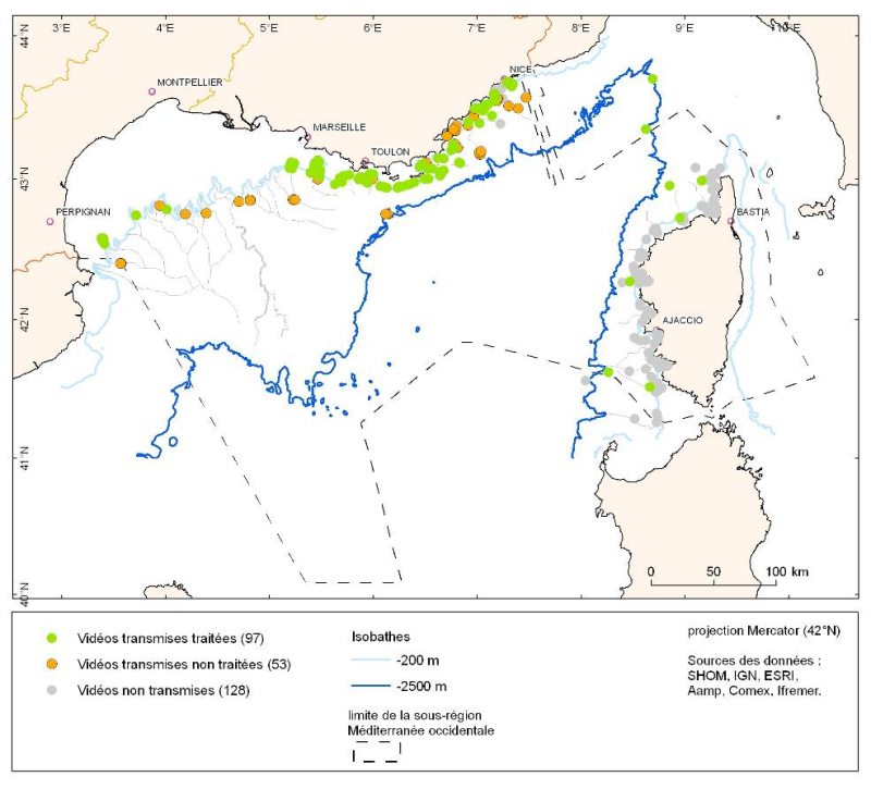
Species distribution is provided as a layer of points representing in situ observations of organisms during submersible dives into the canyons of the Mediterranean mainland.
-
Species distribution is provided as a layer of points representing in situ observations of organisms observed during dives submersible into the canyons in the Mediterranean mainland.
-
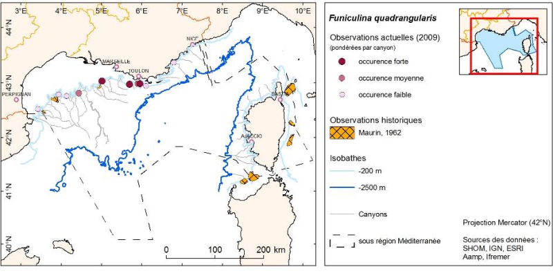
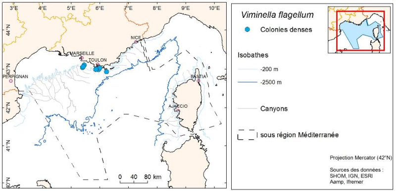
Density (number per km²) and biomass (g per km²) of Funiculina quadrangularis (Pennatulacea) and Isidella elongata (Alcyonacea) observed in bottom trawl scientific surveys (French MEDITS and NOURMED) by-catches from 2012 to 2019
-
World list of seaports. In its 2021 version, the repository includes 13709 ports for 187 countries. The list of seaports has been drawn up on the basis of the information available in the European reference system of places used in the framework of the Common Fisheries Policy and, more particularly, by the Electronic Recording and Reporting System (ERS), the list of ports identified by the UNECE (2021-1). An assessment of the infrastructures present along the coastline made it possible to identify other ports that were not listed. Each geographical position has been verified with Google Earth in WGS84. Each port is associated with information relating to the country (ISO 3 coding), the UNECE or ERS 5-character coding, the name, the geographical position in WGS84 (latitude and longitude), the status of the port indicating whether it is referenced by Unece (UNECE), by the EU/ERS (ERS) or by both (UNECE/ERS) In case the port is not referenced by UNECE or ERS, the status is N/A. For French ports, the reference system integrates the ports of the French overseas departments and territories with the national codification. Inland ports have also been integrated in 2021.
-
As part of the implementation of the monitoring programme of the Marine Strategy Framework Directive (MSFD), the monitoring of demersal fish and cephalopods in coastal soft environments was deemed a priority. Annual observation campaigns of coastal nurseries on soft bottoms were carried out by the Laboratoire Halieutique Méditerranée of the Ifremer station in Sète. The objectives of these campaigns are 1. To evaluate the density, biomass and distribution of fish and cephalopods by trawling, in particular benthic and demersal juveniles (red mullet, gurnard). To do this, around one hundred standardised trawl surveys were carried out over the entire coastal strip of the Gulf of Lion situated between 5m and 40m depth. 2. To systematically measure the size of the individuals collected in order to characterise the importance of the nursery function in the areas observed and to better understand the population dynamics of local species. 3. To gain a better understanding of the coastal zone ecosystem by systematically identifying all the species encountered (including benthic and pelagic invertebrates other than fish and cephalopods), the macro-waste observed and by characterising their hydrological habitats (CTD, oxygen, fluorescence, pH, turbidity, etc.).
-
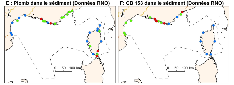
Concentrations of metals, organochlorines in surficial sediments (1st cm) in the Mediterranean coast, from RNO data.