 Mon GéoSource
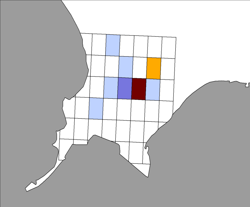
Channel-North Sea
Type of resources
Available actions
Topics
INSPIRE themes
Keywords
Contact for the resource
Provided by
Representation types
Update frequencies
status
Scale
-
Seasonal spatial distribution of gray seals (Halichoerus grypus) on their haul out sites identified by the associations ADN and Picardy Nature in the Authie Bay from 2007 to 2009 inclusive.
-
-
-
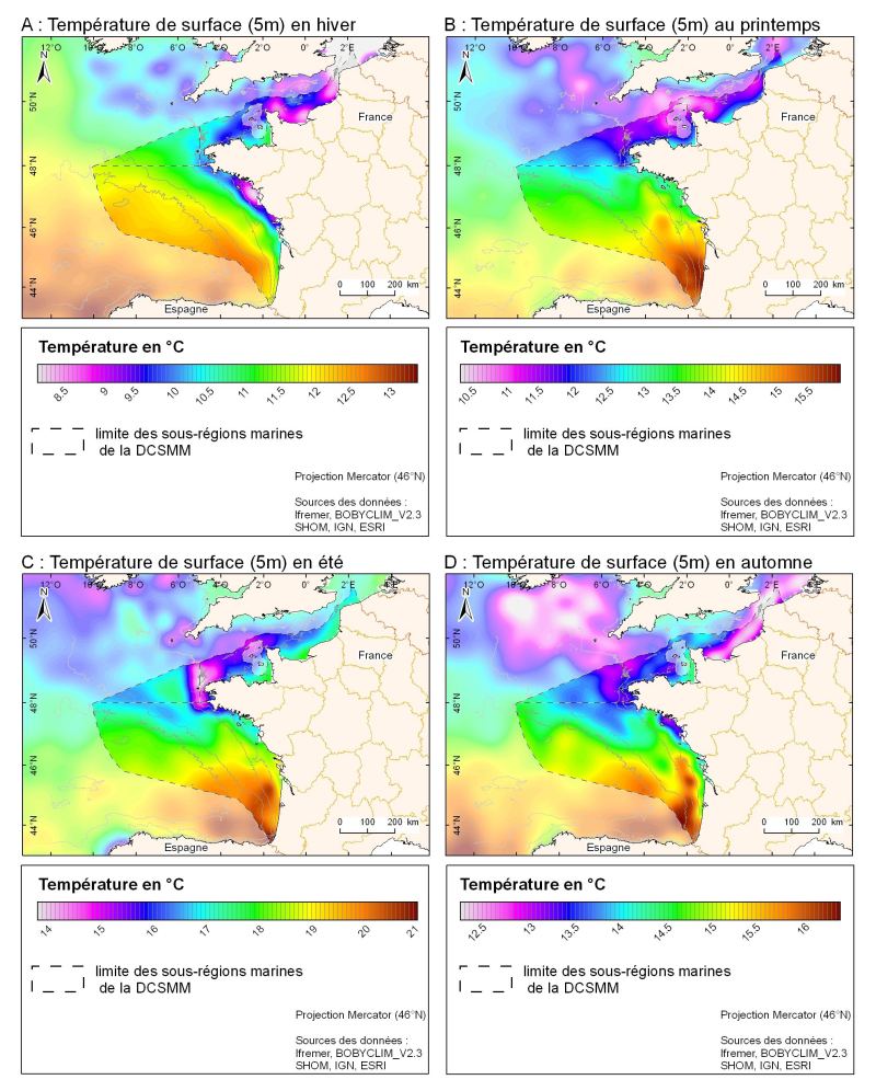
3D seasonal temperature range (in ° C) obtained by objective analysis (interpolation) of the raw data in situ, at a depth of 5m. Within the Bay of Biscay Challenge and the programme of the Operational Coastal Oceanographic Centre Prévimer, the services of SISMER DYNECO-PHYSED of IFREMER have built a joint hydrological database of the Bay of Biscay, from CTD measurements, Bouteilles, XBT / MBT and Profileurs from multiple global data centres to achieve a climatological atlas of the region for temperature and salinity.
-
Location distribution per grid cell of 8 harbor seals (Phoca vitulina), followed by Fastloc GPS / GSM tags from the bay of Mont Saint-Michel from 2006 to 2008
-
-
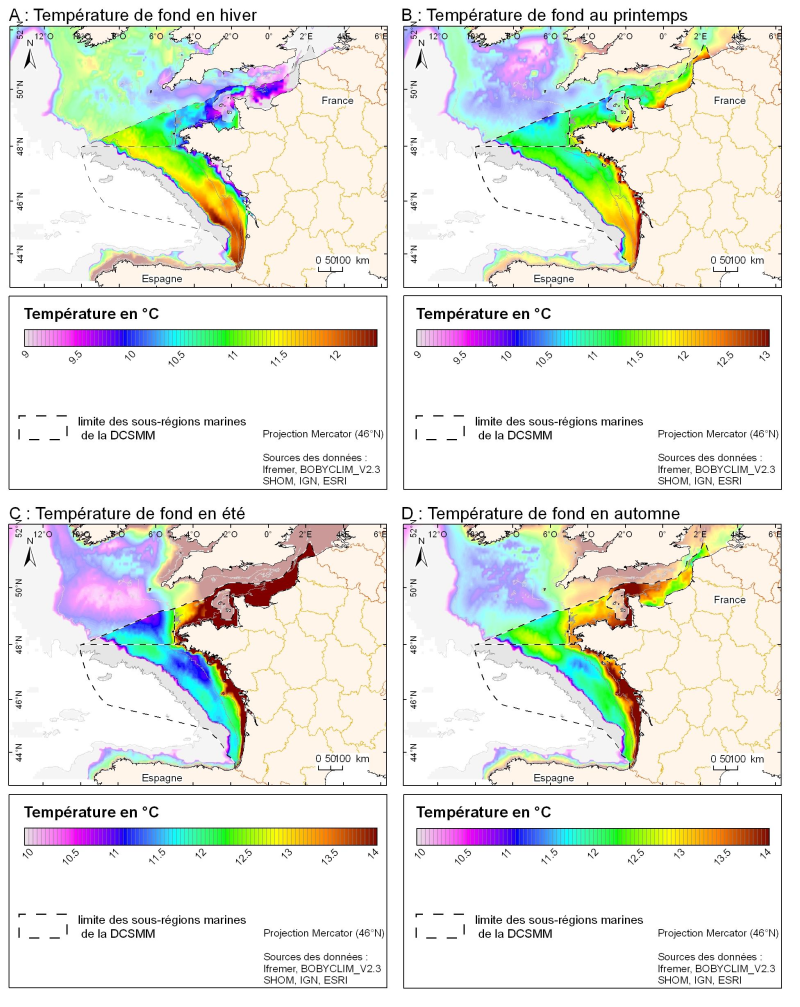
3D seasonal temperature range (in ° C) obtained by objective analysis (interpolation) of the raw data in situ, near the seafloor. Within the Bay of Biscay Challenge and the programme of the Operational Coastal Oceanographic Centre Prévimer, the services of SISMER DYNECO-PHYSED of IFREMER have built a joint hydrological database of the Bay of Biscay, from CTD measurements, Bouteilles, XBT / MBT and Profileurs from multiple global data centres to achieve a climatological atlas of the region for temperature and salinity.
-
-
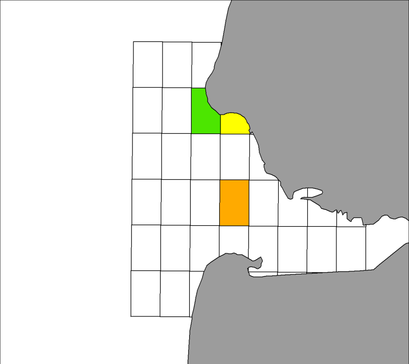
Zones corresponding to the delimitation of major watersheds and related marine areas in the Seine-Normandy basin for the assessment of pressures on the different water masses on the Normandy coast and marine sub region English Channel - North Sea. Nutrient discharges from industries and communities.
-
Spatial distribution of quarterly harbor seals (Phoca vitulina) identified by Aérobaie and the Réserve Naturelle du Domaine de Beauguillot (Nature Reserve of Beauguillot) on their haul out sites in the Bay of Somme from 2007 to 2009 inclusive.