 Mon GéoSource
Geology
Type of resources
Available actions
Topics
INSPIRE themes
Keywords
Contact for the resource
Provided by
Formats
Representation types
Update frequencies
status
Scale
Resolution
-

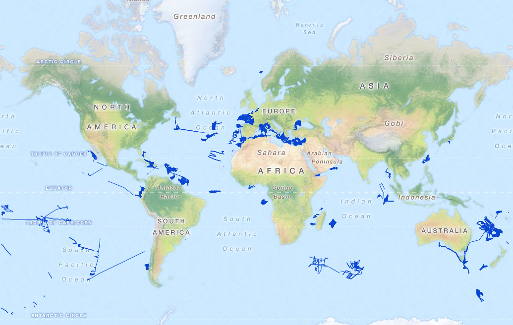
Distribution of three geomorphologic features (fracture zones, canyons, and seamounts) on the North Atlantic (18°N to 76°N and 36°E to 98°W). Source vector data originated from the GEBCO Gazetteer of Undersea Features Names for fractures, Harris & Whiteway (2011) for canyons, and Yesson et al. (2011) for seamounts. The presence (value=1) of fracture zones or seamounts and the total length of canyons (in km, independently for shelf-incising or blind canyons) was extracted in 25km * 25km gridsquares. This dataset was built to feed a basin-wide spatial conservation planning exercise, targeting the deep sea of the North Atlantic. The goal of this approach was to identify conservation priority areas for Vulnerable Marine Ecosystems (VMEs) and deep fish species, based on the distribution of species and habitats, human activities and current spatial management.
-

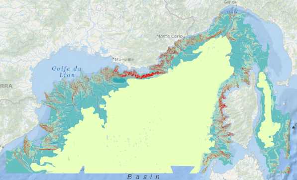
This backscatter data package is being made available as part of the de-risking study to be carried out in the Gulf of Lion for the award of a "commercial floating wind turbine" call for tenders by 2022. It includes data covering French territorial waters. Raw data have been acquired during oceanographic campaigns: AM-MED-1, BASAR1, BASAR2, BASAR3, CALMAR97, CALMAR99, RHOSOS et STRATAFORM 1.
-
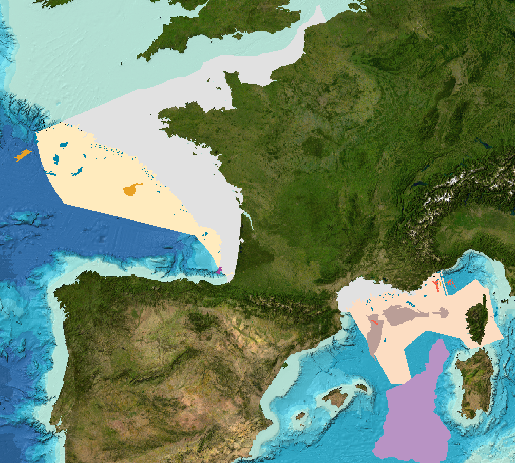
Sediment substrate map at 1 : 250 000 of the French metropolitan EEZ produced in the work-package 3 of the European project EMODNet Geology, phase 2. And additionnal informations on index and confidence of original maps.
-
Landslides and gravitational features mapped within French metropolitan EEZ at 1 : 250 000 in the framework of work-package 6 of the european project EMODNet Geology phase 2.
-
Sediment substrate map at 1 : 1 000 000 of the French metropolitan EEZ produced in the work-package 3 the European project EMODNet Geology, phase 2. And additionnal informations on index and confidence of original maps.
-
Raw underway marine gravity data from the French civil Research vessels and archived at SISMER (IFREMER)
-
Raw seismic reflexion data collected on board of the French oceanographic fleet managed by IFREMER and archived at SISMER.
-
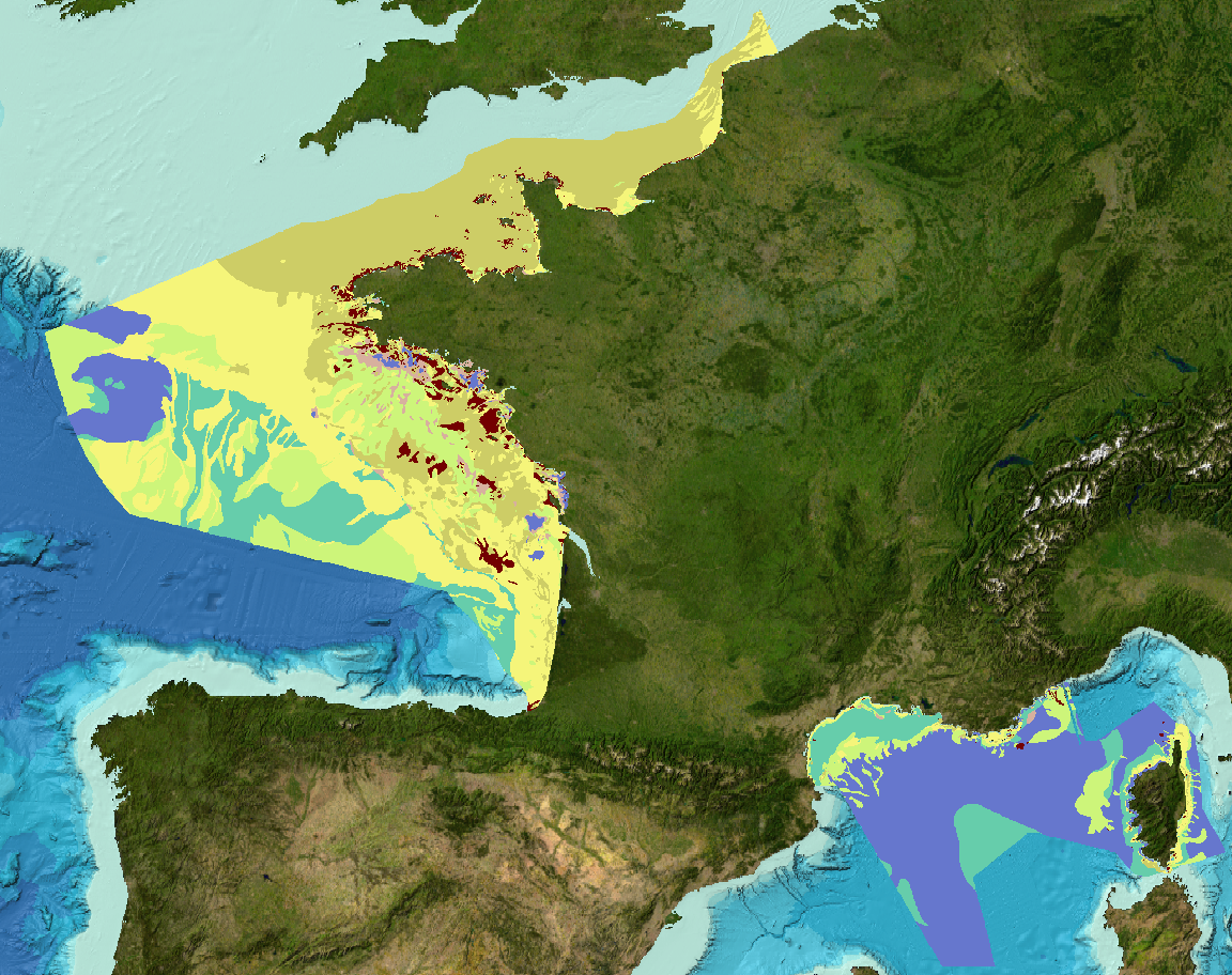
Geomorphological analysis of the continental slope of the Mediterranean sea based on a 100m Data Terrain Model (DTM). This DTM is a synthesis of data acquired during sea surveys.
-
Map of surficial sediments in the English Channel area known as "Larsonneur."
-
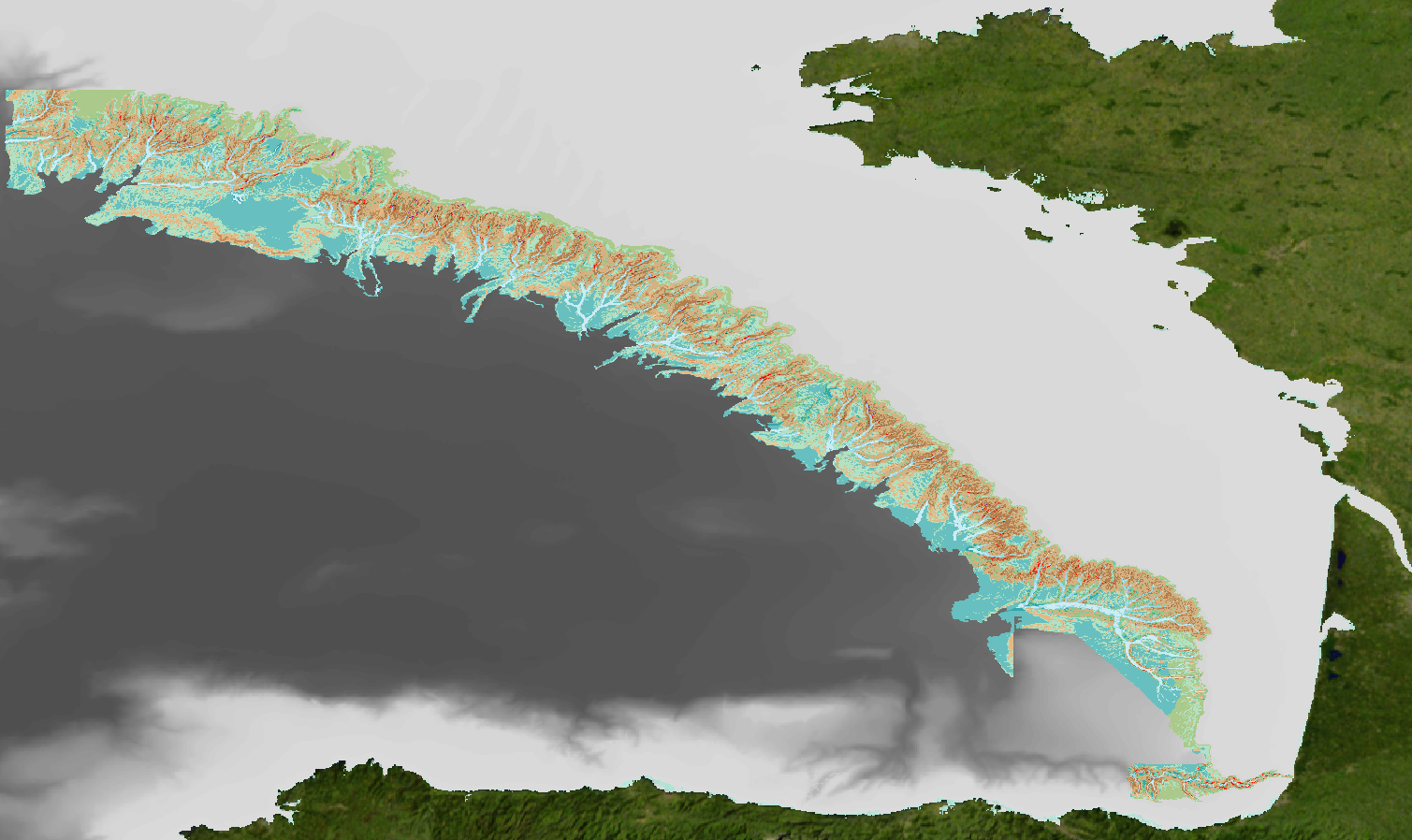
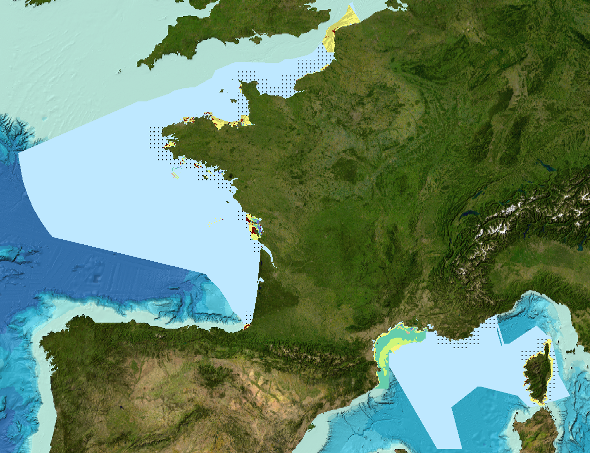
Geomorphological analysis of the continental slope of the Bay of Biscay based on a 100m Data Terrain Model (DTM). This DTM is a synthesis of data acquired during sea surveys ZEE 1, ZEE 2, Sedimanche, Sedifan 1, Sedifan 2, EssNaut 2009, EssReson08, ValidOp, BOBGeo 1, BOBGeo 2, EssInf.