 Mon GéoSource
continual
Type of resources
Available actions
Topics
INSPIRE themes
Keywords
Contact for the resource
Provided by
Years
Formats
Representation types
Update frequencies
status
Service types
Scale
Resolution
-
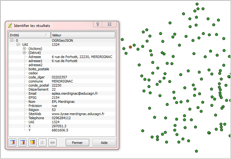
Géolocalisation des établissements publics locaux d’enseignement et de formation professionnelle agricoles : Position géographique des établissements en WGS84 (4326) sur l'ensemble du territoire (France métropolitaine et DOM COM). Attributs : Éléments de contact (nom,adresse, téléphone, mail..) et coordonnées géographiques officielles des établissements concernés. Mise à jour mensuelle. Information de précision des données : Dans la mesure du possible, la donnée est au bâtiment près ou à la rue; il existe cependant des cas où le centre de la commune est le point de référence (cf. champ "Précision").
-

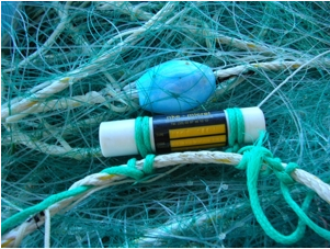
The gear repository of the Fisheries Information System includes, on the one hand, the FAO fishing gears enriched with national specificities and, on the other hand, the sampling gears used during the fisheries surveys conducted by Ifremer and its partners.
-
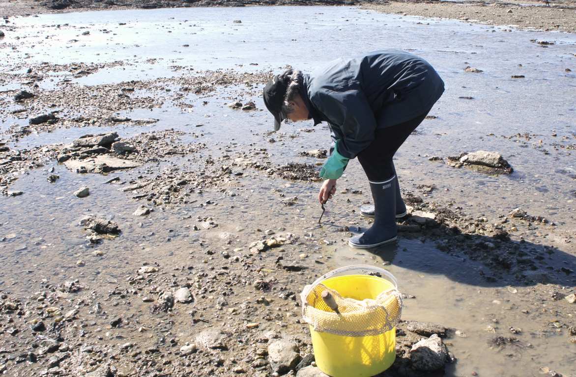
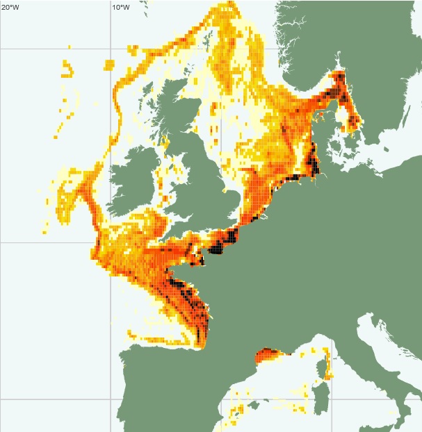
The national multidisciplinary RECOPESCA programme is a collaboration between volunteer fishermen and scientists for the automated collection of geolocated physical and fisheries environmental data from the coastal domain. The principle consists of installing sensors on gear to measure environmental parameters, from the surface to the bottom, and to record detailed data on fishing activity and effort. The data acquired feeds the operational coastal oceanography database (coastal component of Coriolis) and the fisheries database of the SIH (Harmonie). The programme thus responds to research issues (physical and fisheries), the implementation of the ecosystem approach to fisheries, support for public policies (DCSMM, DCF, CMEMS) and Ifremer's innovation in the coastal field.
-
These data provide information on the characteristics of shipowners and vessels: registration, year of construction, material, length, port, place of registration, membership of the FPC file, tonnage, power.
-
-
The "Fishing trips" data in the declarative flow correspond to the catch and fishing effort data declared by the professionals in the logbooks for vessels whose overall length is greater than or equal to 10 metres, and the fishing sheets for vessels whose overall length is less than 10 metres.
-
Vessel Monitoring System (VMS) data is the data from the Community's satellite-based fishing vessel monitoring system, which provides data on the position, course and speed of vessels to fisheries authorities at regular intervals.
-

The repository of commercially exploited species of interest in the Fisheries Information System is based on the FAO's ASFIS repository enriched with species of high commercial interest in France (metropolitan and overseas).
-

A metier in the Fisheries Information System is a fishing practice defined by a fishing gear and a target species. They are used for statistical purposes to evaluate fishing strategies and efforts.
-

The scientific species repository of the Fisheries Information System lists the species observed during fishing campaigns or within the framework of the observations of collection programmes (ObsVentes, ObsMer, Campaigns, etc.).