 Mon GéoSource
25000
Type of resources
Available actions
Topics
INSPIRE themes
Keywords
Contact for the resource
Provided by
Years
Formats
Representation types
Update frequencies
status
Scale
Resolution
-
Abstract
-
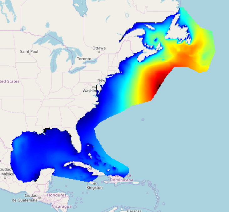
IOWAGA sea-states hindcast database generated by the wave model WAVEWATCH-III and forced by ECMWF winds on the North East Atlantic grid over 1990-2012 period.
-
Abundance of several species in coastal nurseries along french coasts.
-
-
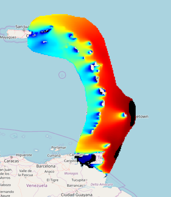
IOWAGA sea-states forecast best estimate generated by the wave model WAVEWATCH-III and forced by ECMWF winds on the North West Atlantic grid from 2017 to now
-
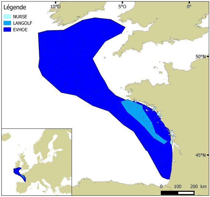
Distribution of benthic invertebrate species in Atlantic based on cumulative and interpolated relative abundance density data from fisheries surveys EVHOE (2008-2013), LANGOLF (2011-2013), NURSE (2000-2013), ORHAGO (2011-2015)
-
Seasonal spatial distribution of gray seals (Halichoerus grypus) on their haul out sites identified by the ONCFS on the rocks of Portsall in 2010.
-
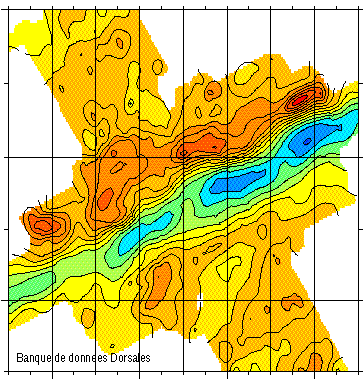
Gravimetry data of the ridge axis of Mohn's ridge (NE Atlantic) in order to study the mecanisms of the oceanic accretion.
-
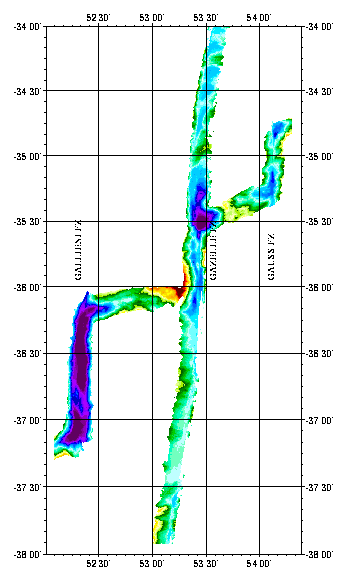
Geophysical (bathymetry, gravimetry, magnetism, seismics and multichannel reflection) and geological (dredging) studies of the northern part of the Kerguelen plateau (Indian Ocean). Survey of ODP drilling sites (leg 183). The Kerguelen underwater plateau is still puzzling today, when trying to understand its origin and explain the way it was formed. To try to answer these questions, new deep ocean drilling was to be done on the Kerguelen shelf in late 1998 and early 1999.
-
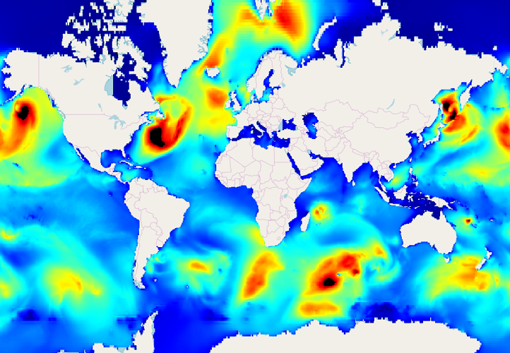
IOWAGA sea-states hindcast database generated by the wave model WAVEWATCH-III and forced by ECMWF winds on the Global grid over 1990-2012 period.